Delving into Deep Time in the Spokane Area
/Trip Dates: June 20-23, 2025, plus an optional trip to Republic, WA, on June 24
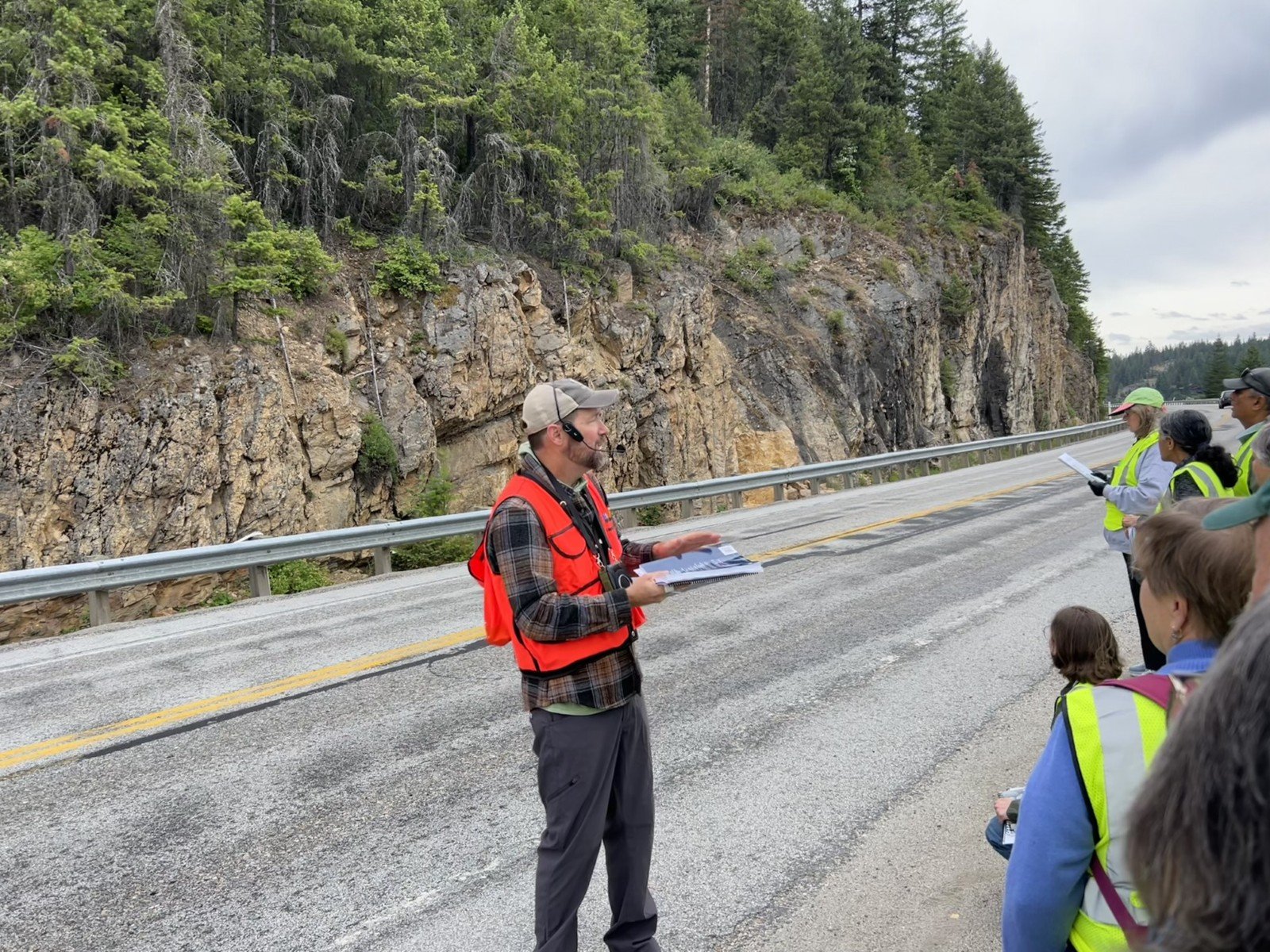
Trip Leader: Dr. Chad Pritchard, EWU Geosciences Department Chair, Cheney, WA
Article by Carol Hasenberg
Photos by Carol Hasenberg unless noted otherwise

Figure 1. Trip routes and stops, including the June 24 optional side trip to Republic.
On this trip, GSOC participants got to view some sedimentary, metamorphic and very very old rocks; a bit of a departure from our normal field trip fare. For this, we had to journey some 300-400 miles ENE from Portland to the NE Washington/Idaho panhandle border country. Our guide in this exceptional country was Dr. Chad Pritchard from Eastern Washington University in Cheney, WA. Dr. Pritchard was one of the co-chairs of the 2024 Cordilleran Section Conference of the GSA in Spokane, and two of the field trip guides found in the GSA field trip guide #69 from that conference were instrumental in planning this field trip for GSOC. He also co-authored the book Washington Rocks! which was the source of several of the other trip stops.
As many of you know, this area was on the western margin of the ancient Laurentia continent, and sediments collected on the passive continental margin for over a billion years while the earth’s continental plates did their Wilson’s cycle dances. As the ancient supercontinents Nuna (also known as Columbia) and later Rodinia broke apart, layer after layer of sediments were deposited in rift basins and on the continental margin.
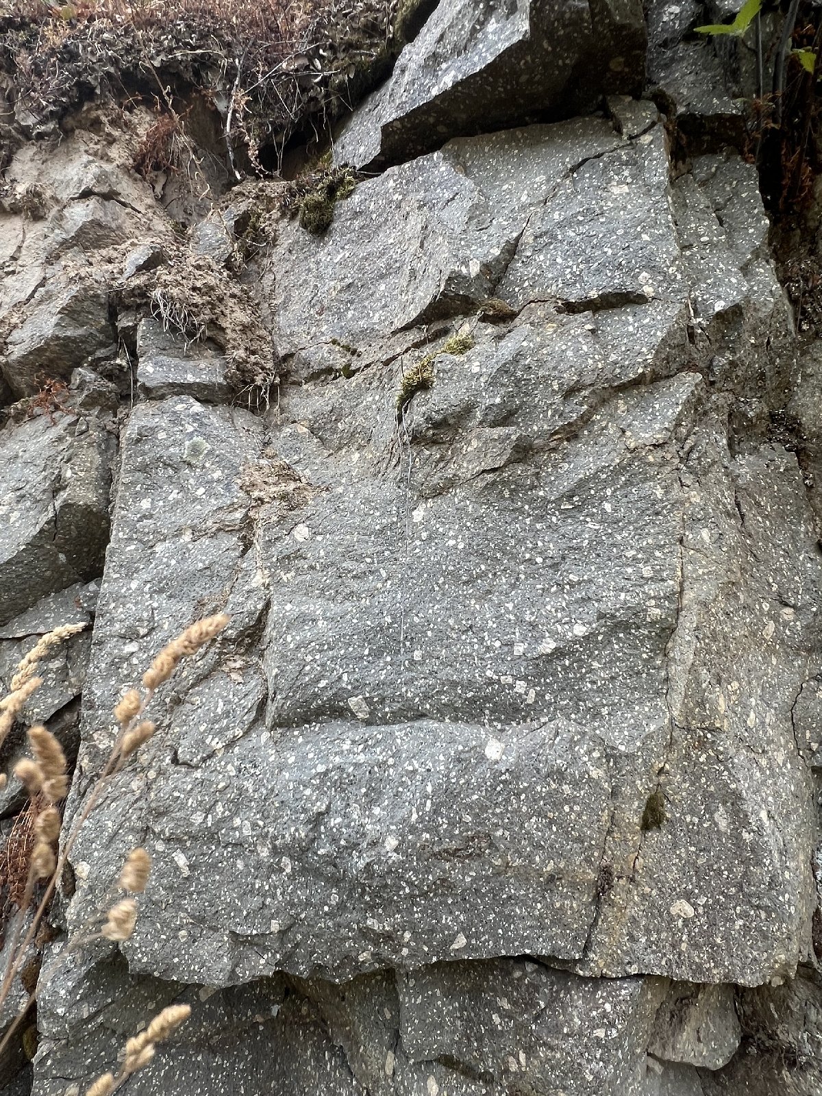
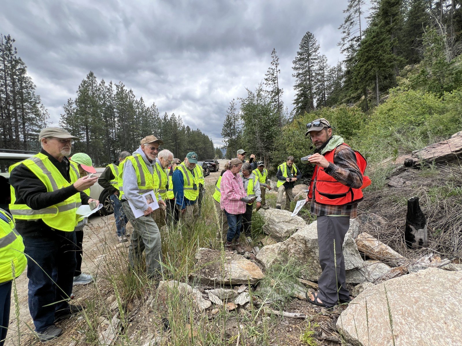
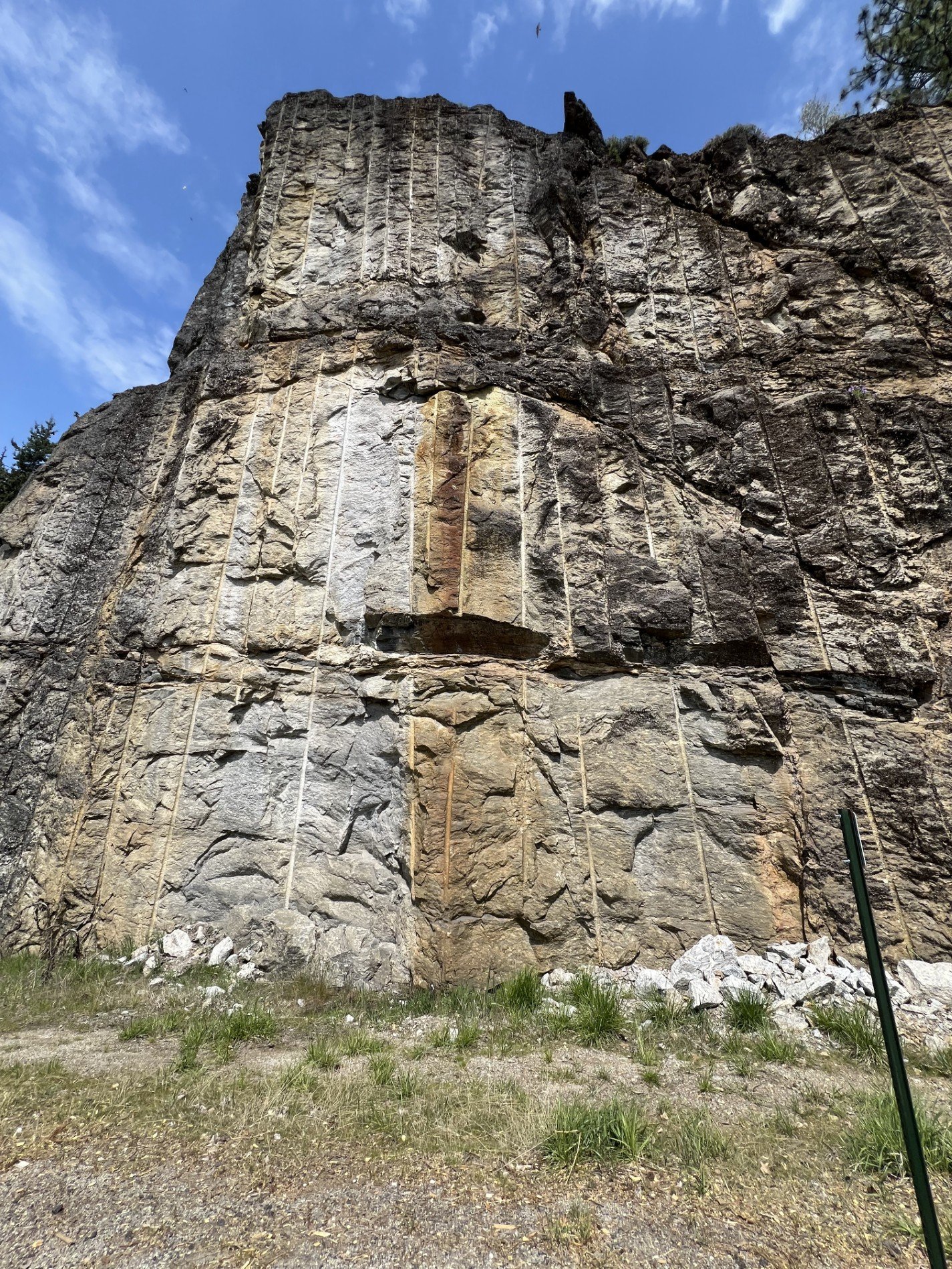
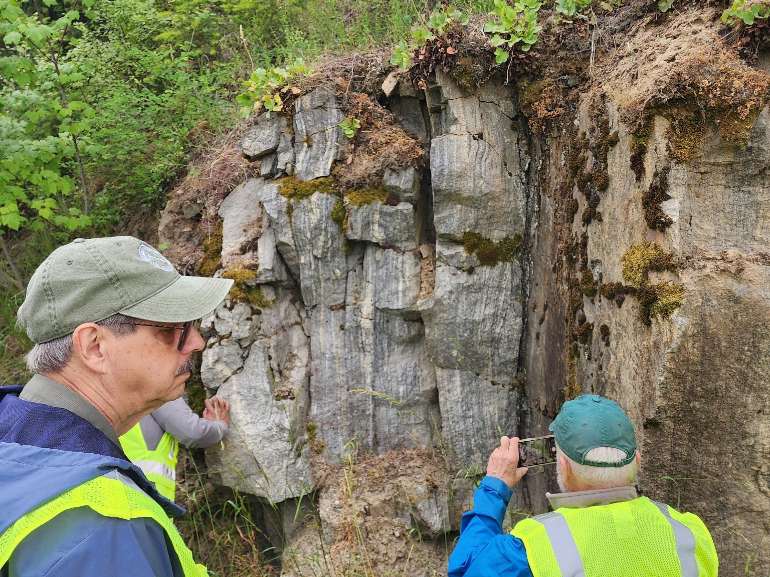
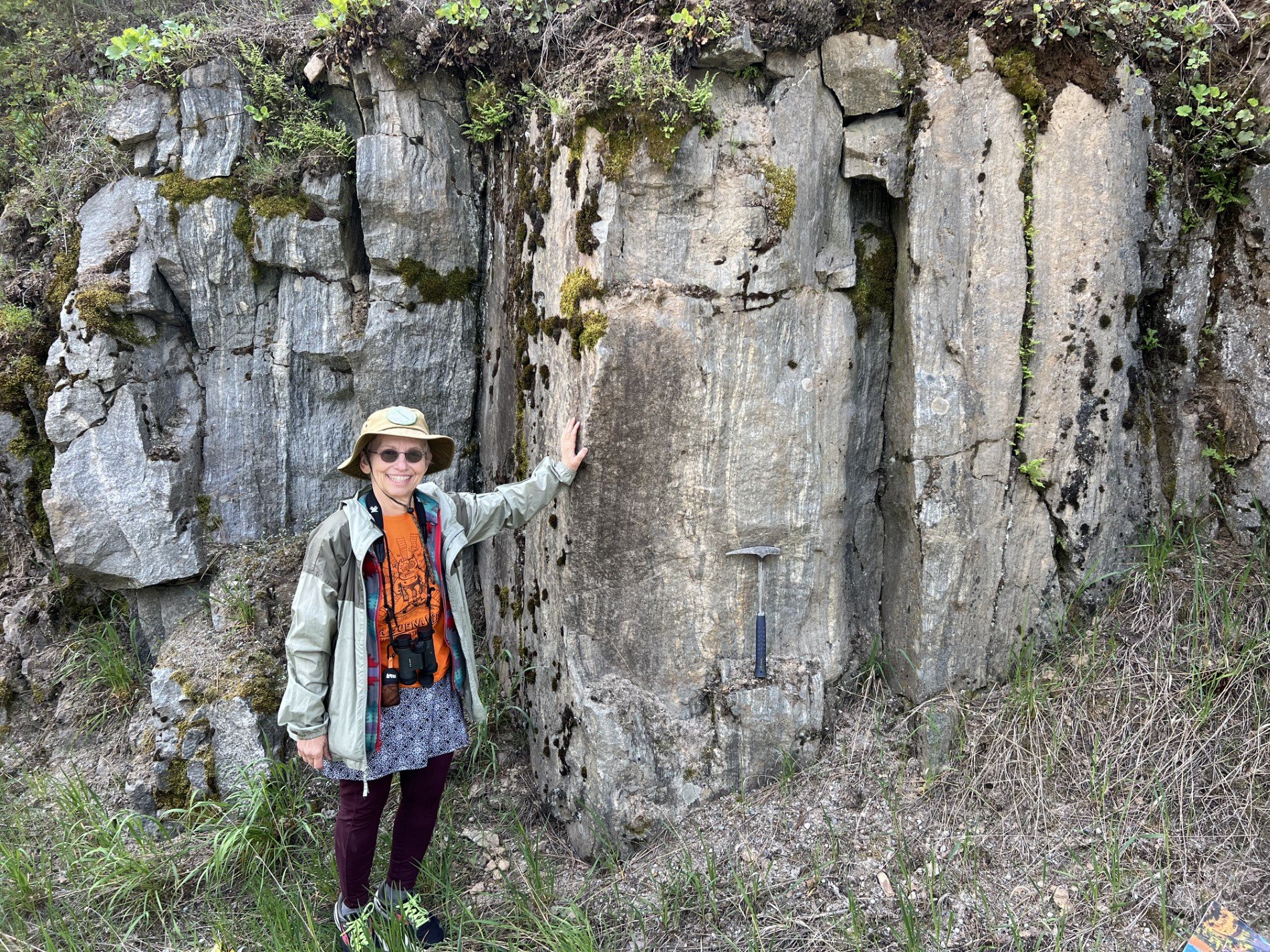
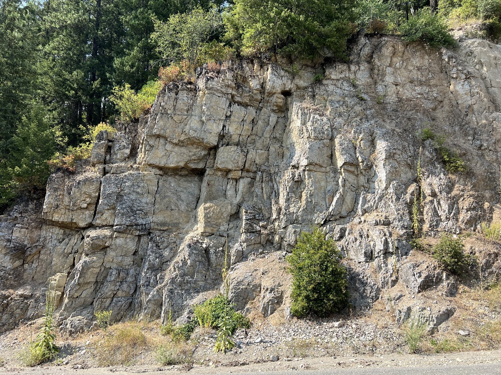
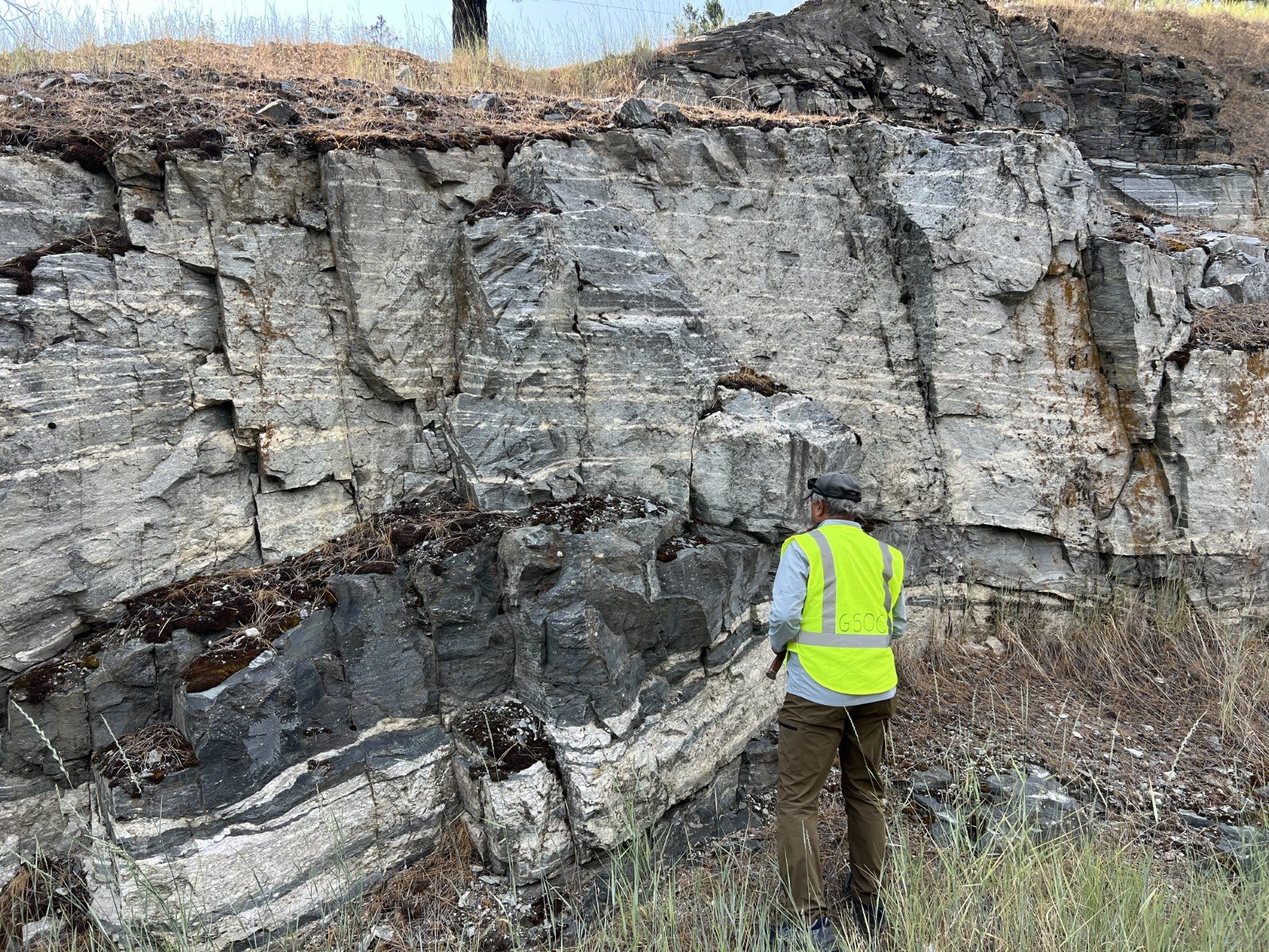
We even got to view two exposures of the ancient craton itself, exhumed by isostatic equilibrium during crustal expansion episodes of the Cretaceous Period to Eocene Epoch, in the Priest River Complex. See Figs. 2 and 3. The northernmost of these is located near the town of Priest River and is appropriately called the Pend Orielle Gneiss, as it is found along the banks of the Pend Orielle River. The more southern exposure of the Cougar Gulch Gneiss is found across the lake from Couer d’Alene along US highway 95. Both of these exposures have been dated at 2.65 Ga (billion yrs ago).
The ancient cratonic Pend Oreille Gneiss is also directly overlain by the Gold Cup Mountain Quartzite, an ancient near shore deposit on the Medicine Hat Craton dated at 1.8 Ga.
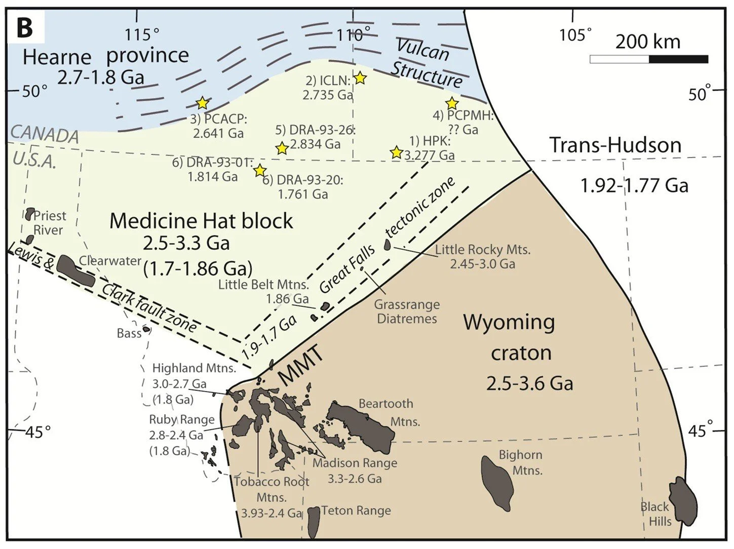
Figure 2. Map of ancient Laurentian cratonic blocks in Idaho, Montana, and Wyoming with some recent dating results. Old cratonic exposures viewed on the trip are in the black polygons in the Priest River Complex shown near the Idaho/Washington border, dated at 2.65 Ga (billion yrs old). From Gifford, Malone and Mueller, “The Medicine Hat Block and the Early Paleoproterozoic Assembly of Western Laurentia,” Geosciences, 2020.
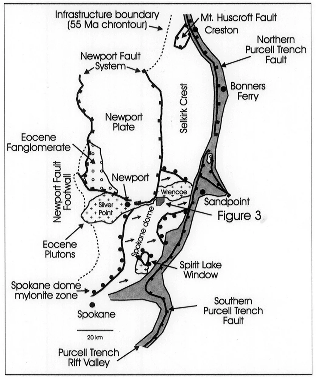
Figure 3. Map of the Priest River Complex, from Doughty, Price and Parrish, “Geology and U-Pb geochronology of Archean basement and Proterozoic cover in the Priest Rive complex, northwestern United States, and their implications for Cordilleran structure and Precambrian continent reconstructions,” Canadian Journal of Earth Sciences, 1998. An east-west cross section schematic through this type of stratigraphy is shown in Figure 4. The area labeled “Figure 3” in this figure is the area containing the exposures of the Pend Oreille Gneiss.
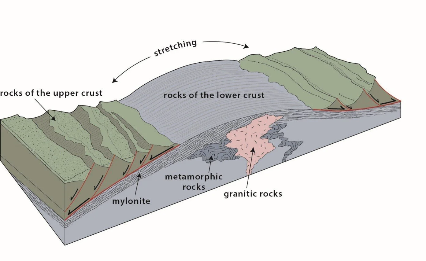
Figure 4. Schematic of a metamorphic core complex, from Kiver, Pritchard, Orndorff, Washington Rocks! A guide to geologic sites in the Evergreen State, Montana Press Publishing, Missoula, MT, 2016.
Most of the sediments lying atop these ancient continental margins were deposited as the supercontinents were in the breakup phase and after; the “rift to drift” tectonic settings. So even though the age of the oldest exposures are 2.5 Ga., there isn’t a continuous record of deposition from that time - rather, there are spurts of massive depositions in discrete packages named and dated as follows:
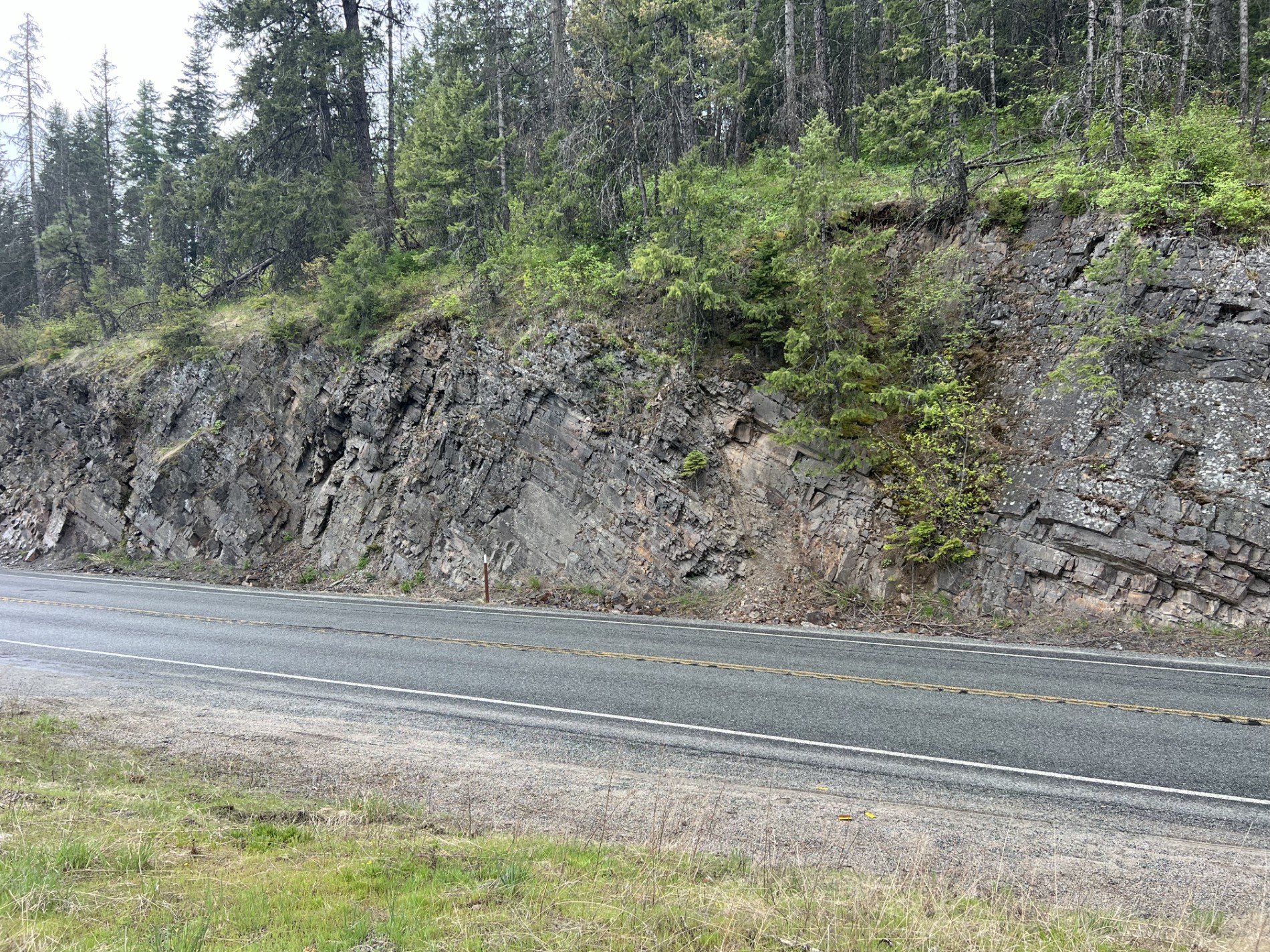
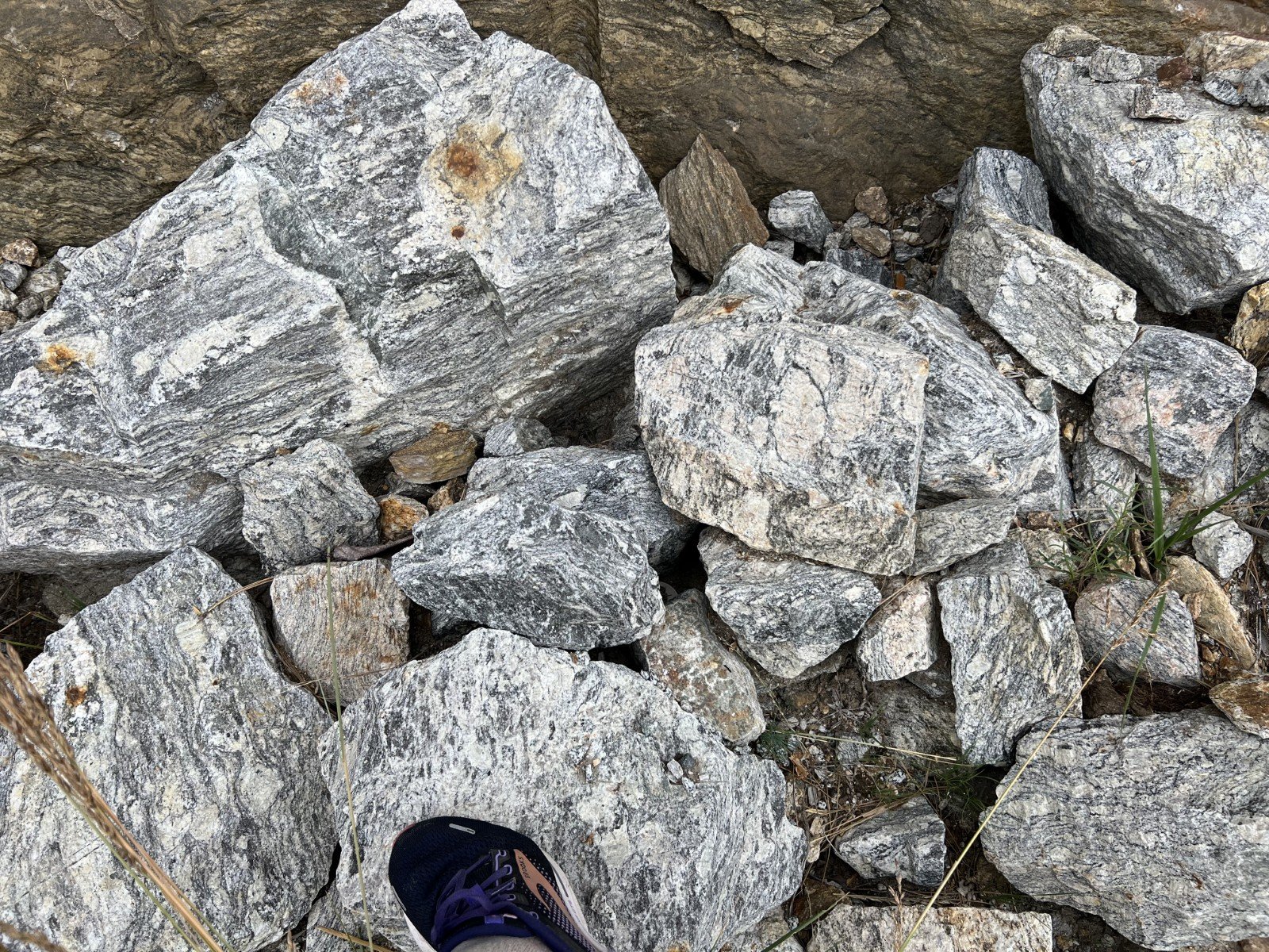
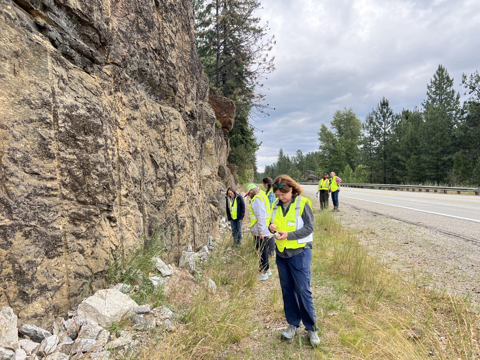
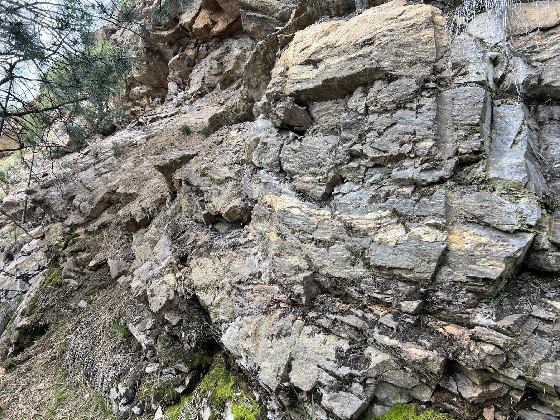
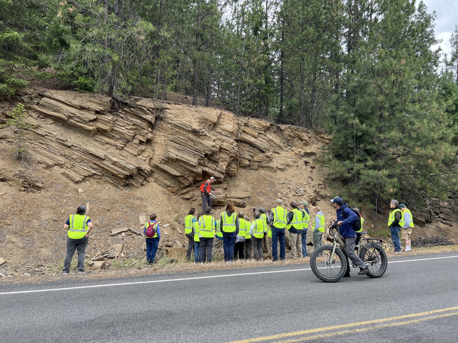
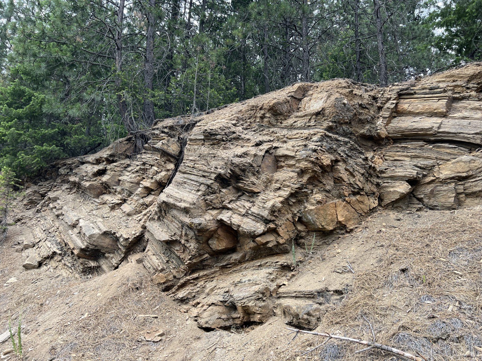
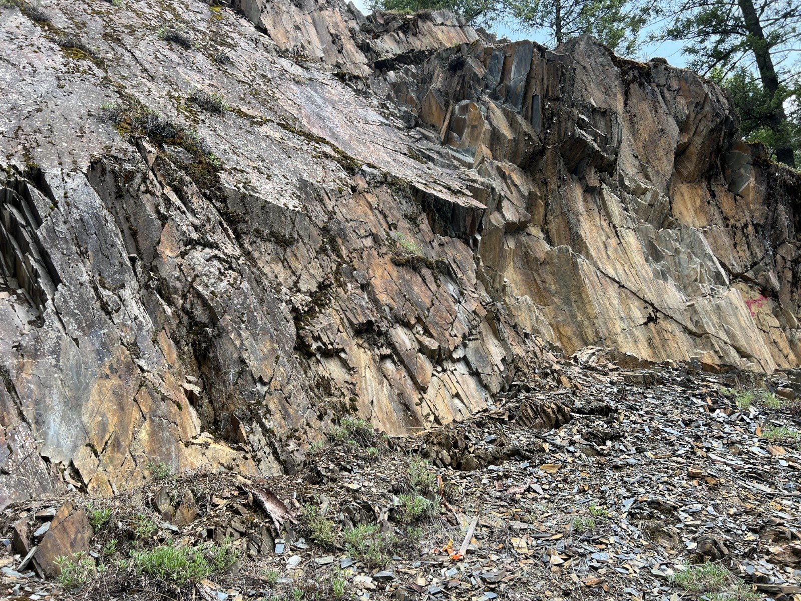
The Belt Supergroup is a thick sequence of sediments that were deposited in a rift basin between 1.5 Ga and 1.37 Ga. The portion of that basin remaining in North America is found in eastern Washington, Idaho, western Montana, and southeastern British Columbia. The rifting that produced the basin was the initiation of the breakup of Nuna. Most of these sediments are not very intensely metamorphosed and we could still see the original bedding layers in the stratigraphy. Some important minerals have been mined from Belt formations. In the Priest River Complex, there has been a lot of faulting and this is a possible mechanism for the layer of the older Laclede Augen Gneiss (1.58 Ga.) to be found within the Hauser Lake Gneiss at the base of the Belt Supergroup.
The Deer Trail Group, dated from 1.37 Ga to 1.30 Ga, represents further deposits from the breakup of Nuna. These formations are found in a more limited area on the western edge of the Belt Supergroup in the Colville Valley area. They also have significant deposits of minerals which have been mined.
The Windermere Supergroup was deposited during the Cryogenian Period as coastline sediments during the breakup of Rodinia, from about 760 Ma to 635 Ma (million yrs ago). Windermere sequences are found in a narrow band all along the ancient western coast of Laurentia, with outcrops as far south as California and Utah, in the Pocatello Formation in southeastern Idaho, and through northeastern Washington, British Columbia and the Yukon Territories in Canada. An interesting feature of the Windermere deposits is that they contain diamictites, believed to be glacial deposits from “Snowball Earth.” The Windermere group in northeastern Washington has a very limited exposure in the Colville Valley area and we were able to view only one formation in situ. However, Clark Niewendorp and I were able to collect some samples from another formation on a very rough road in the reconnaissance trip.
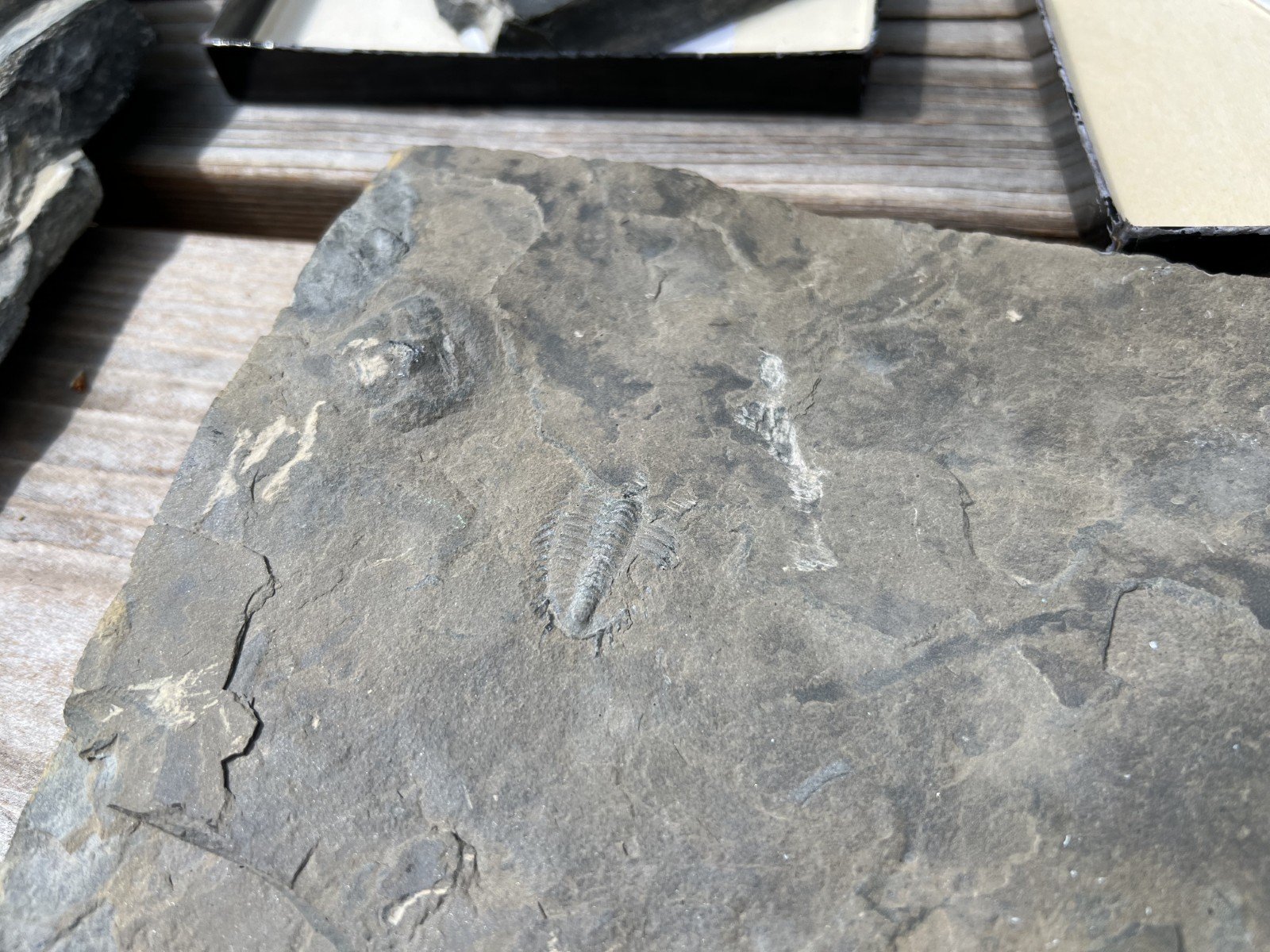
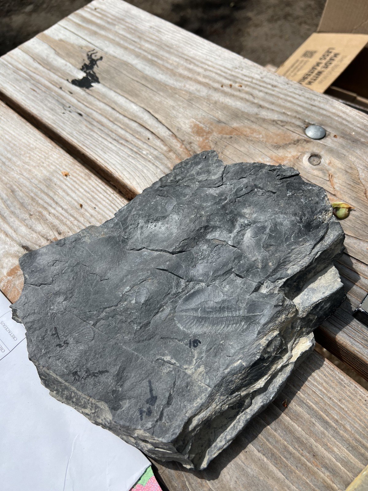
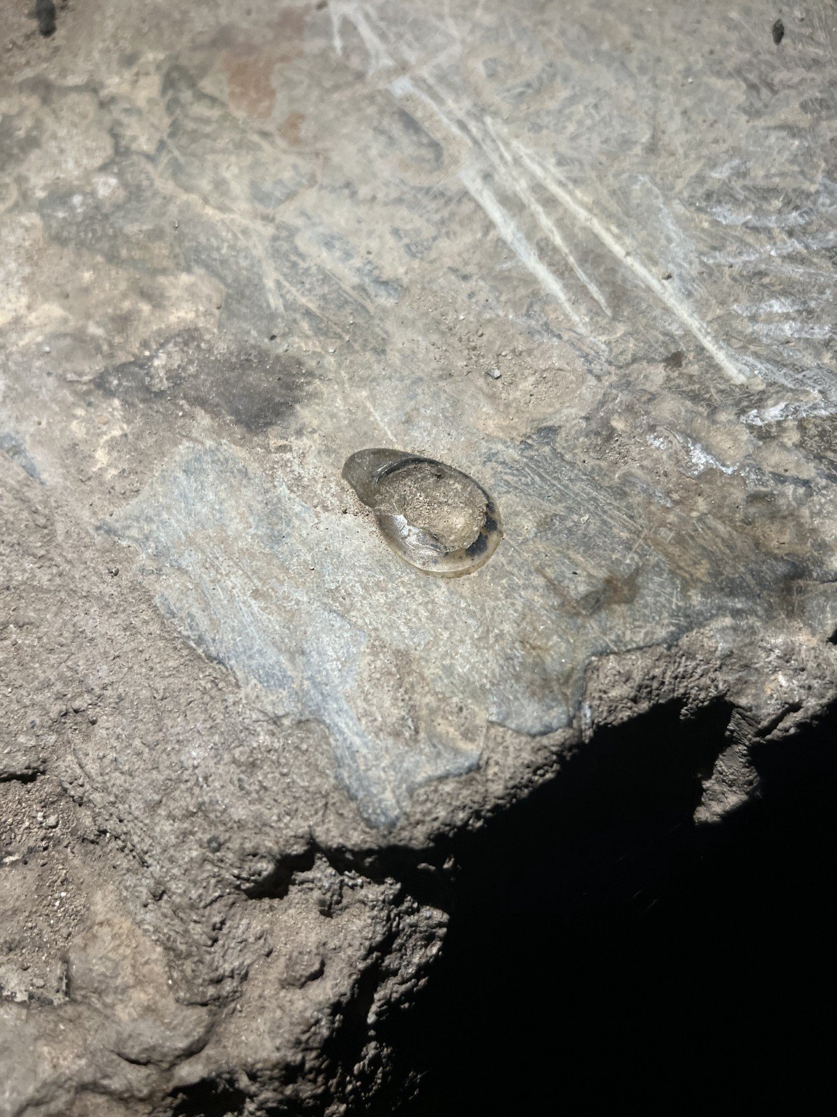
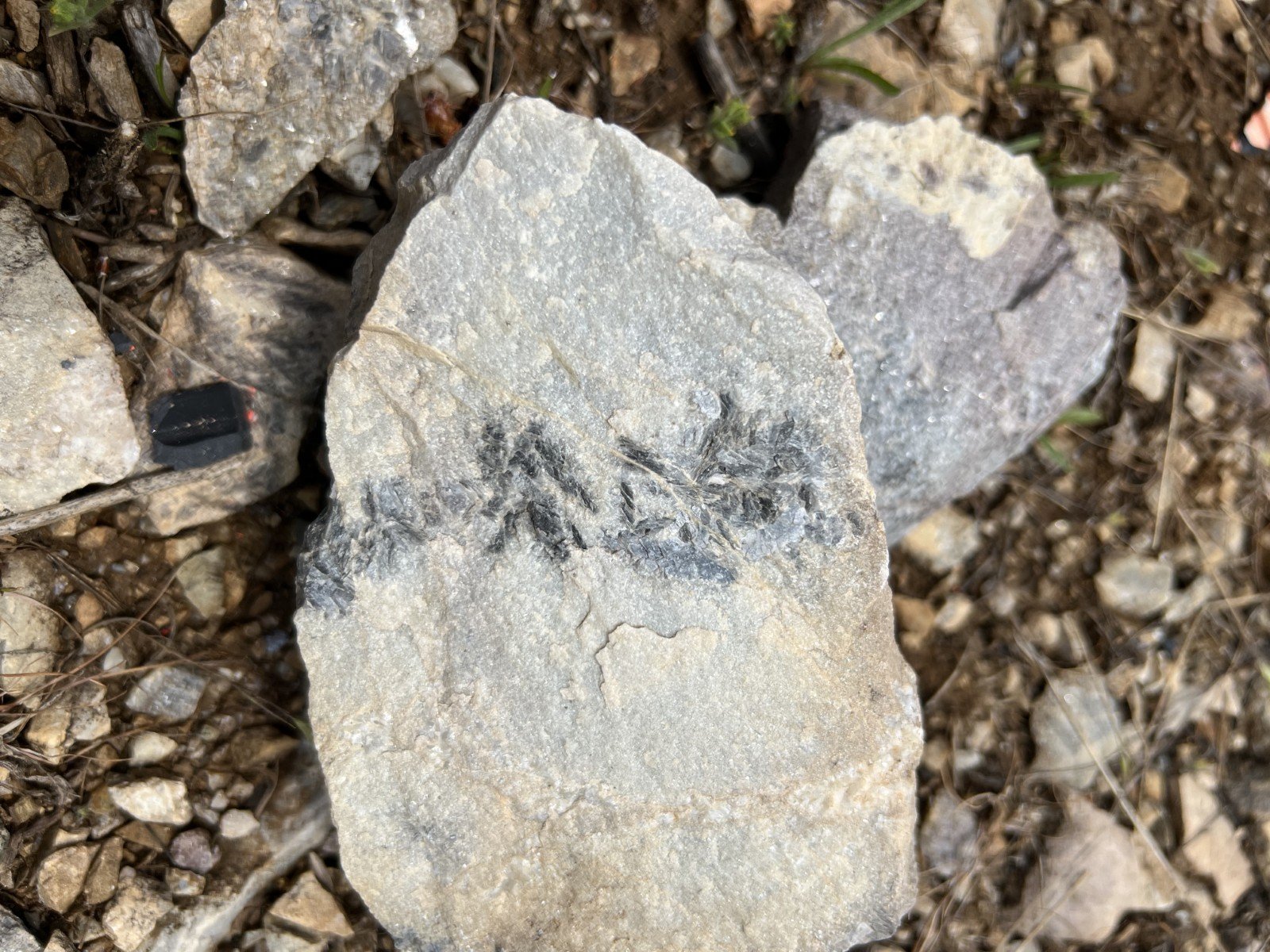
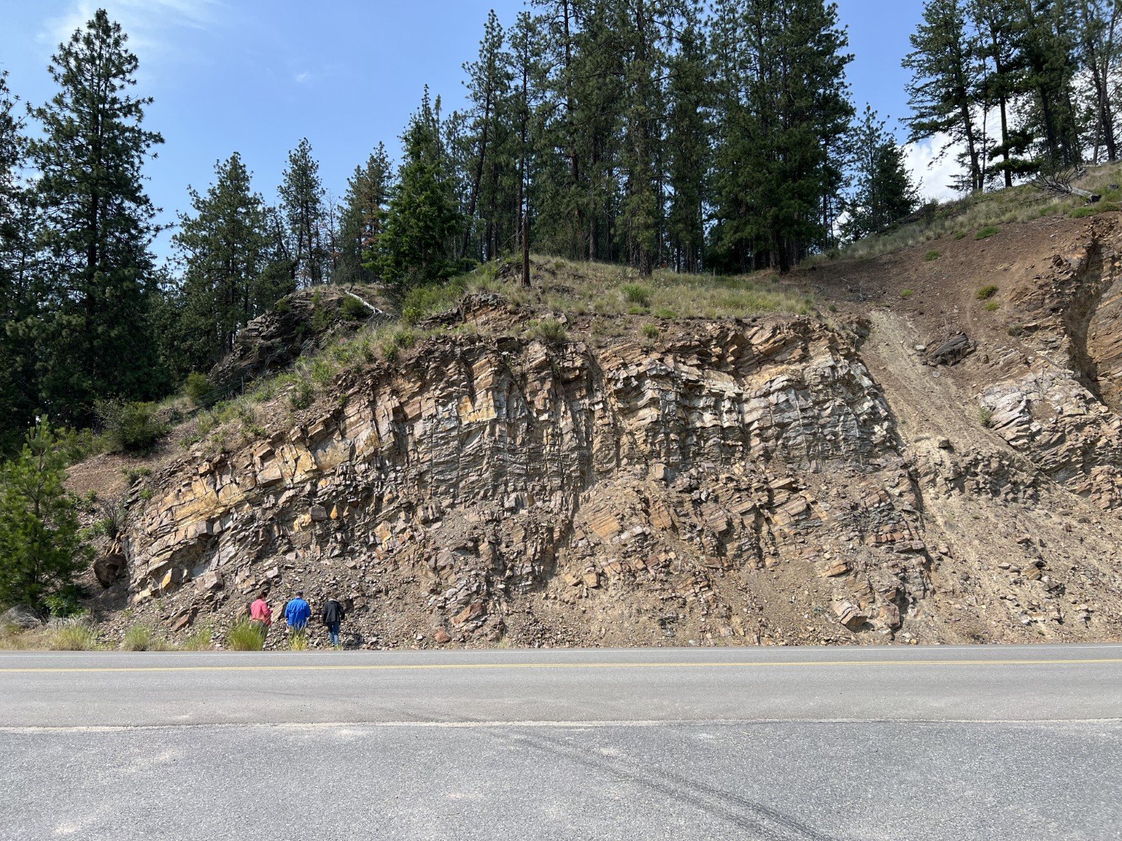
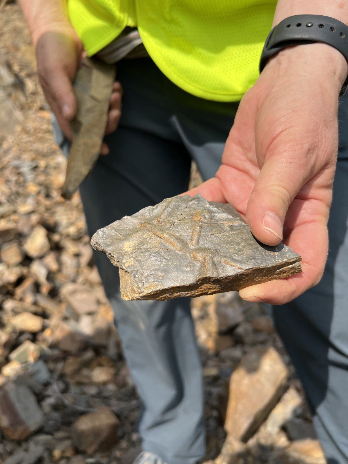
The final group of ancient sediments we viewed on the trip were deposited from the late Ediacaran through the middle Ordovician (600 to 460 Ma) and are found in the Pend Orielle Valley north of Newport, WA. During this time ocean levels rose dramatically in the drift tectonic phase between the supercontinents Rodinia and Pangaea. Quartzites, argillites, phyllites, and limestone deposits in these stratigraphic formations represent varying water depths. More important minerals and also plant and animal fossils can be found in these formations.
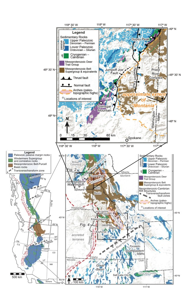
Figure 5. Regional and local maps of Belt, Deer Trail, Windermere and Lower Paleozoic Stratigraphy along the western margin of ancient Laurentia. Modified from Brennan, Pearson, Link and Milton, “Neoproterozoic to early Paleozoic tectono-stratigraphic framework for central Idaho: Windermere Supergroup in the northern sector of the U.S. Cordillera,” chapter from Laurentia: Turning Points in the Evolution of a Continent, 2023.
These various aged groups of rocks were conveniently located in packages along highways as you set out from Spokane in east, north, and west directions, so the trip was organized by daily themes:
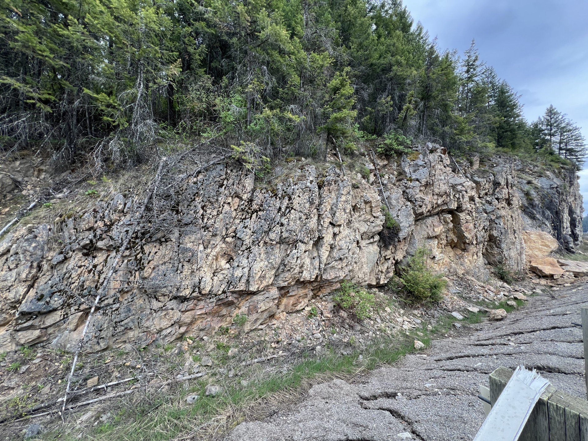
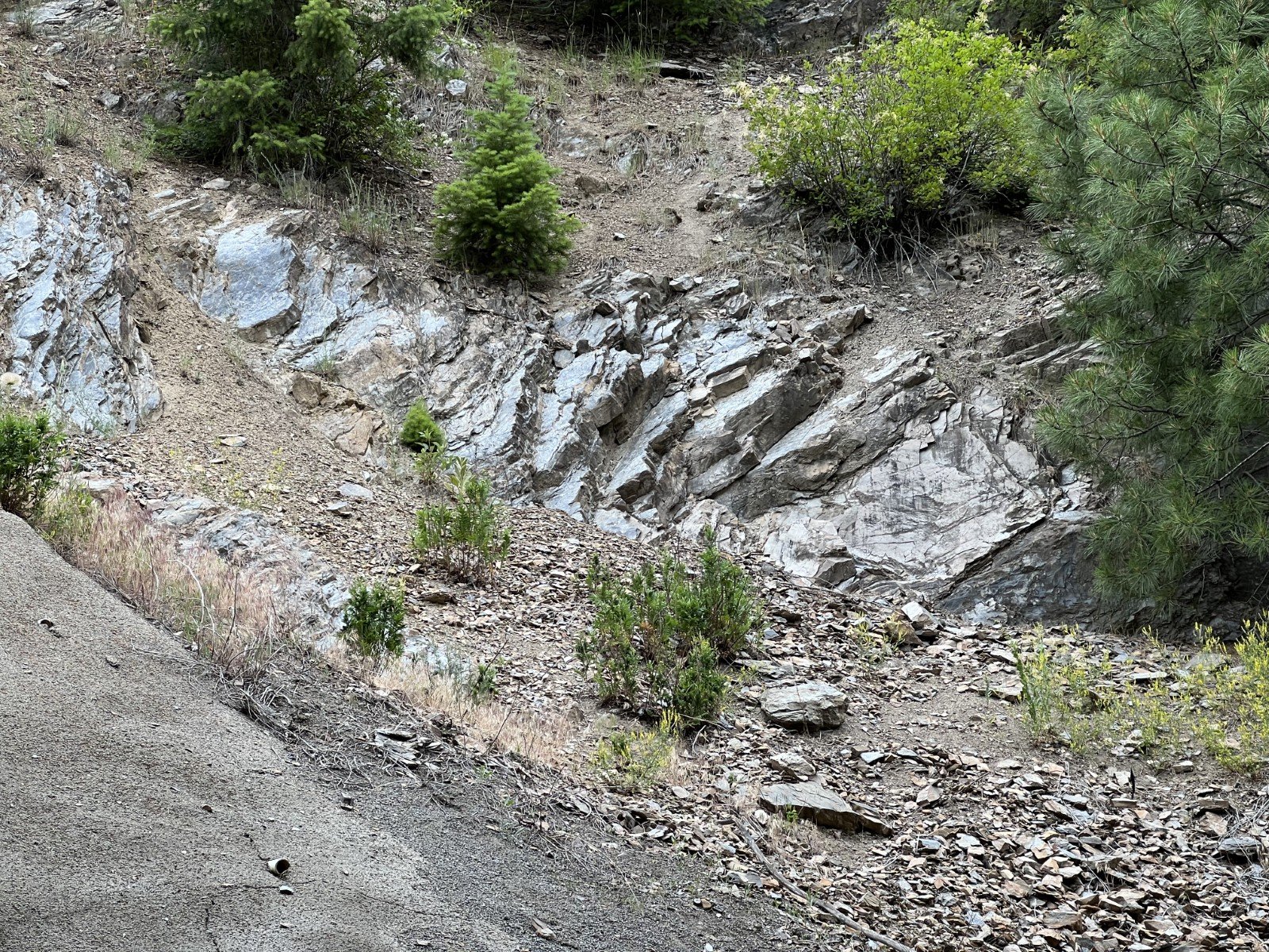
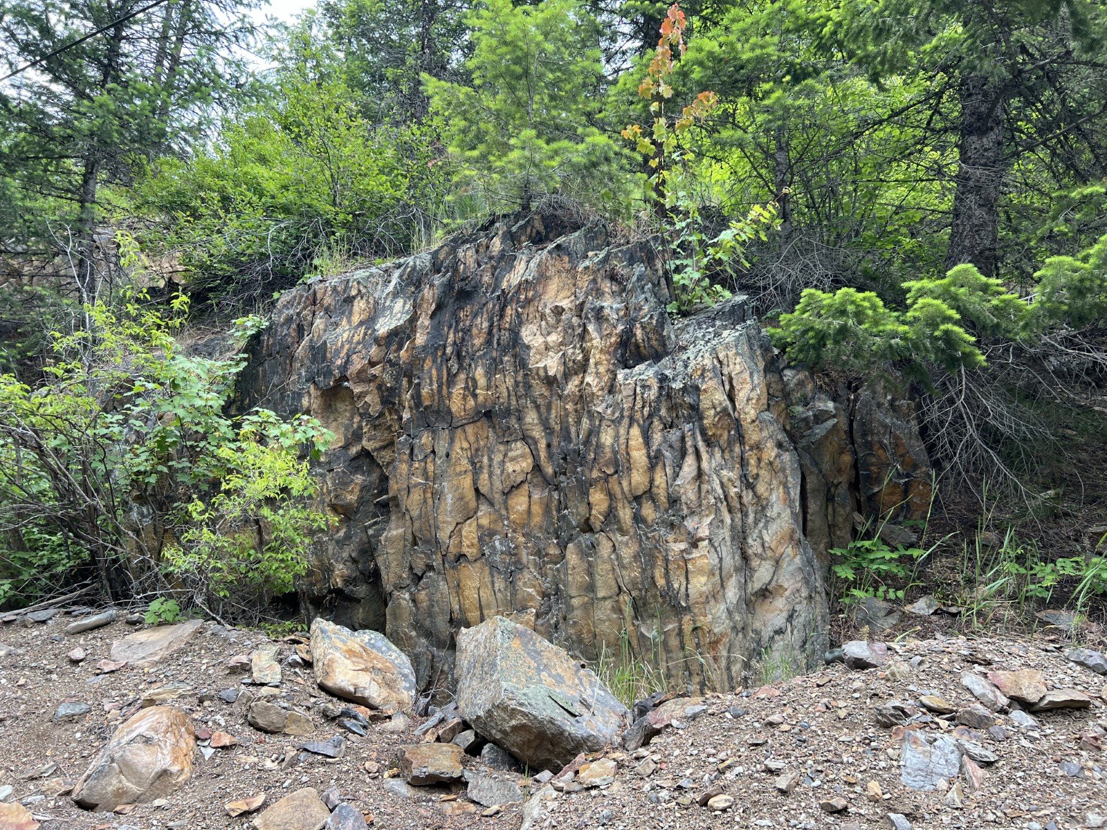
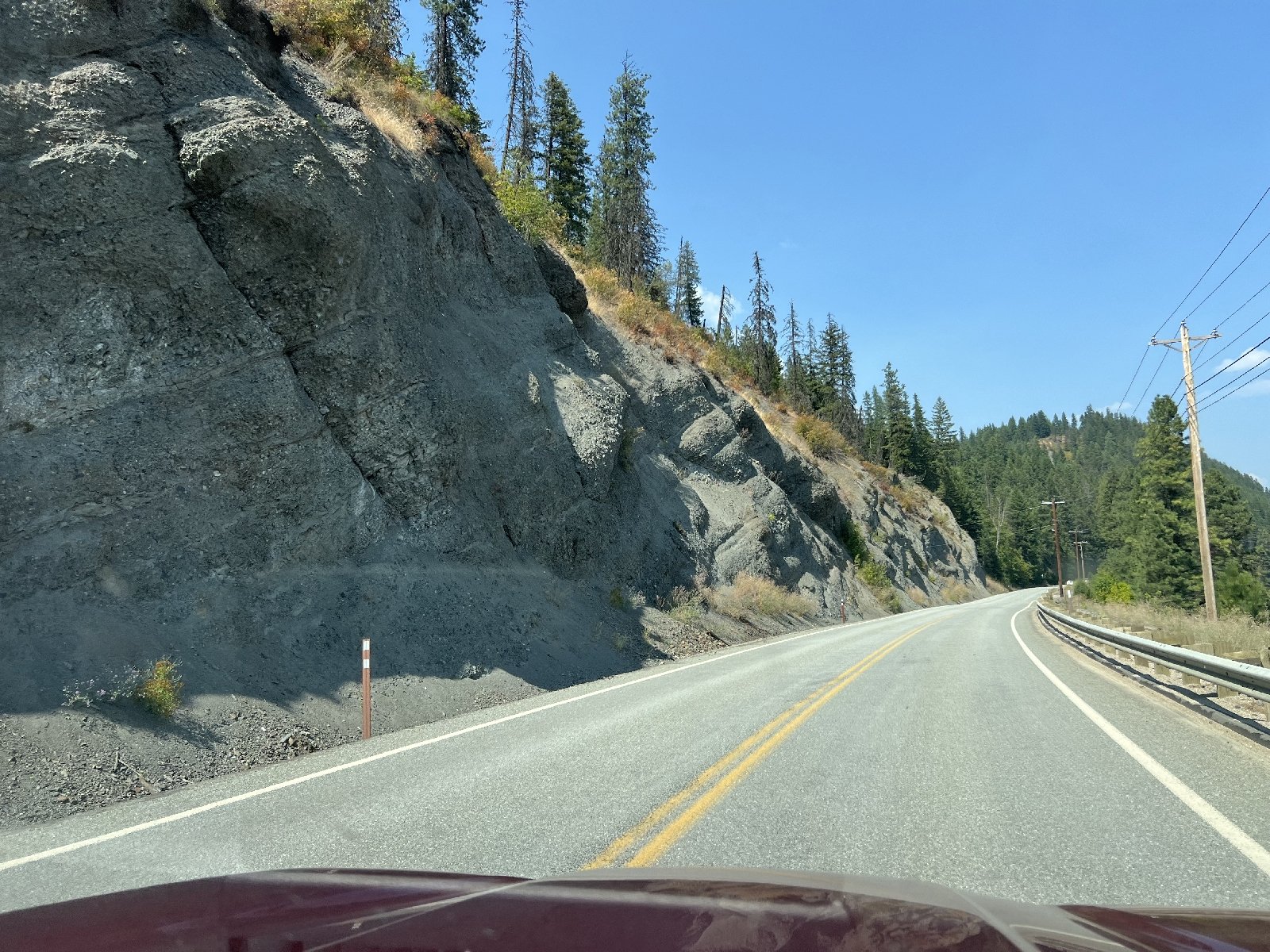
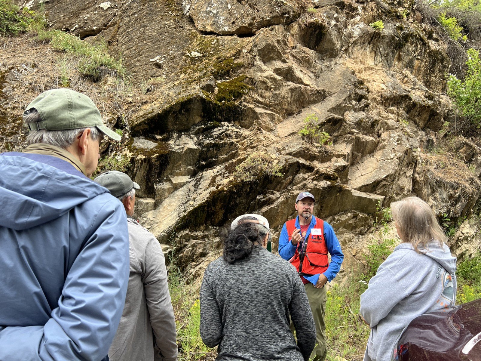
Day 1 - A circuit around the Priest River Complex, traveling north out of Spokane to Newport and east to Priest River, south to Couer d’Alene and west back to Spokane. We viewed turbidites in the Lower Belt stratigraphy, the gorgeous Laclede Augen Gneiss, the ancient Pend Oreille Gneiss and Cougar Gulch Gneiss, and the highly metamorphosed Hauser Lake Gneiss, which is the part of the Lower Belt that did get squished and smeared during the formation of the Priest River Complex.
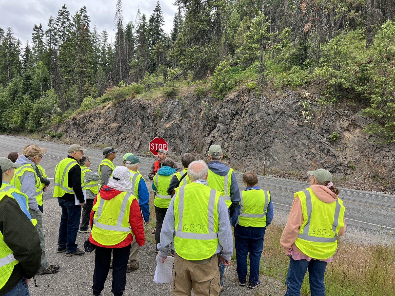
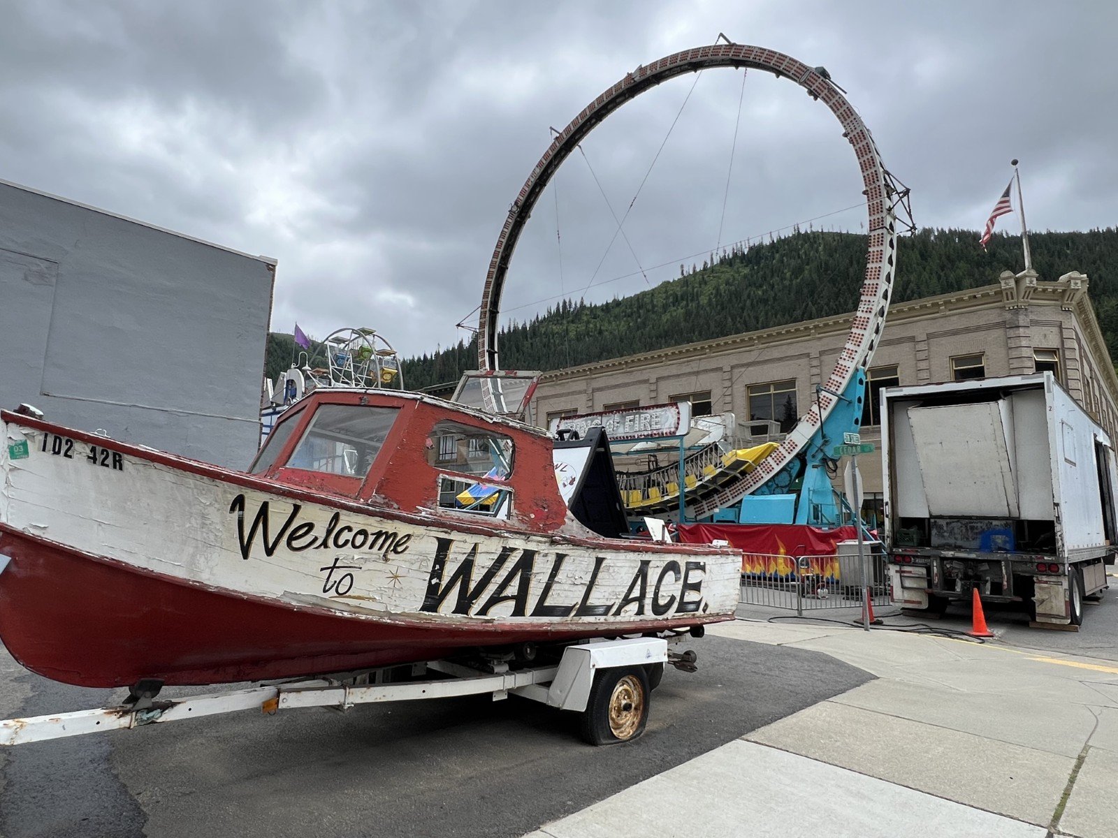
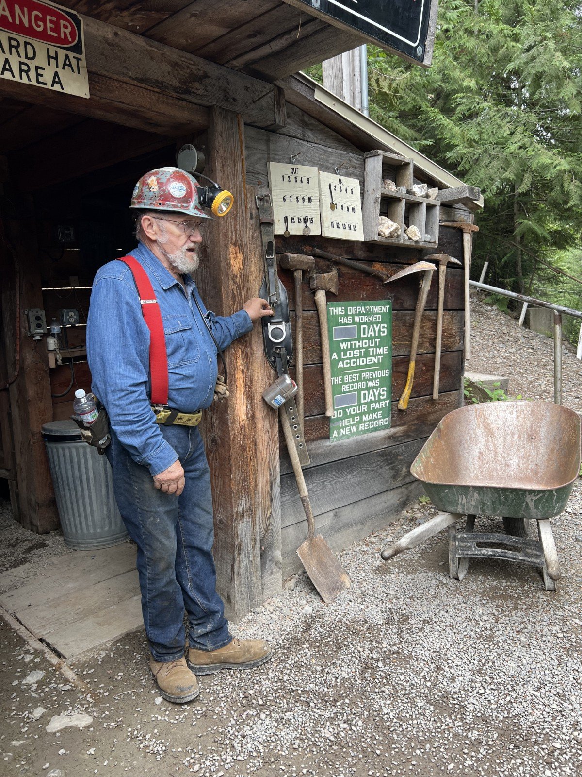
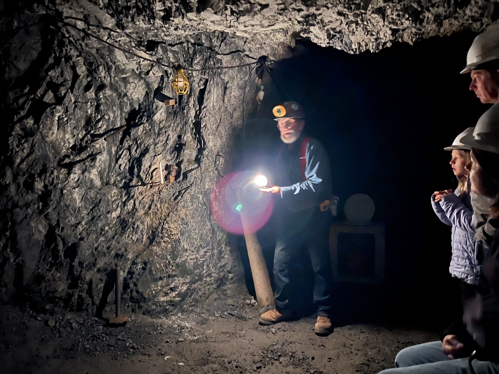
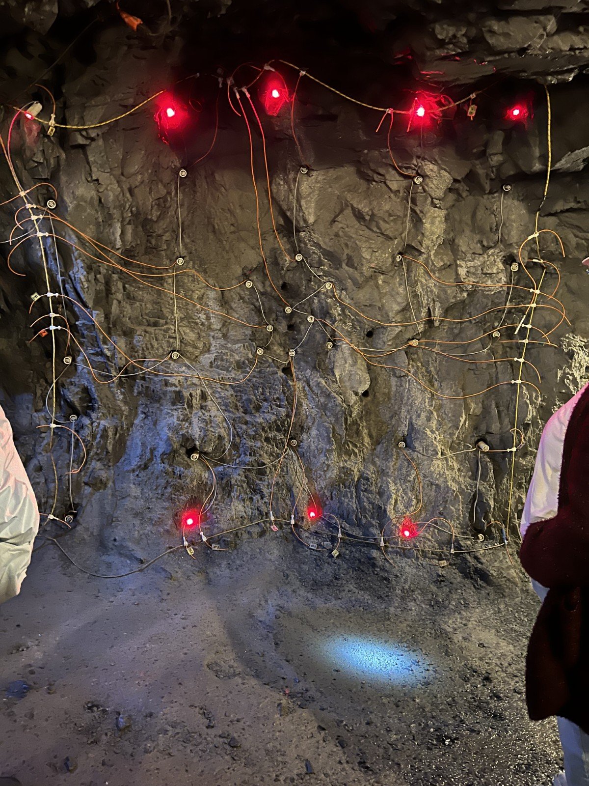
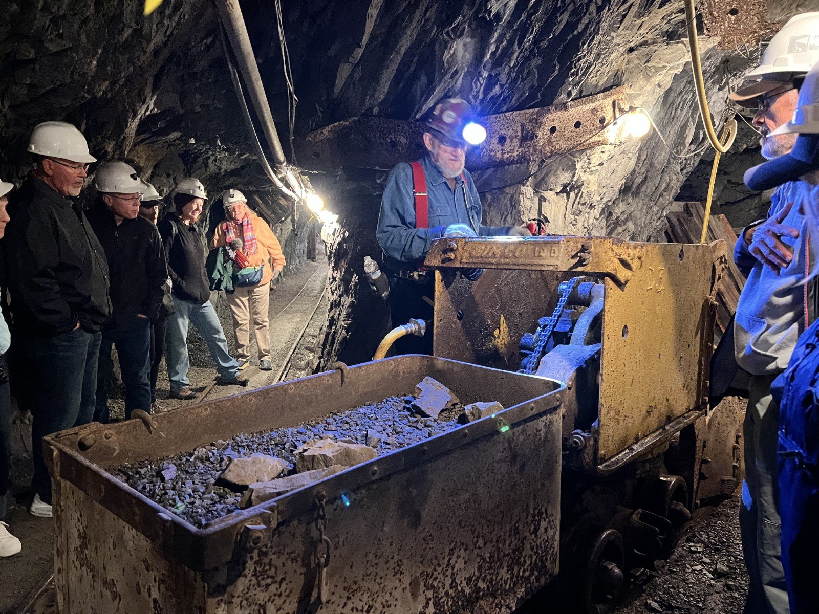
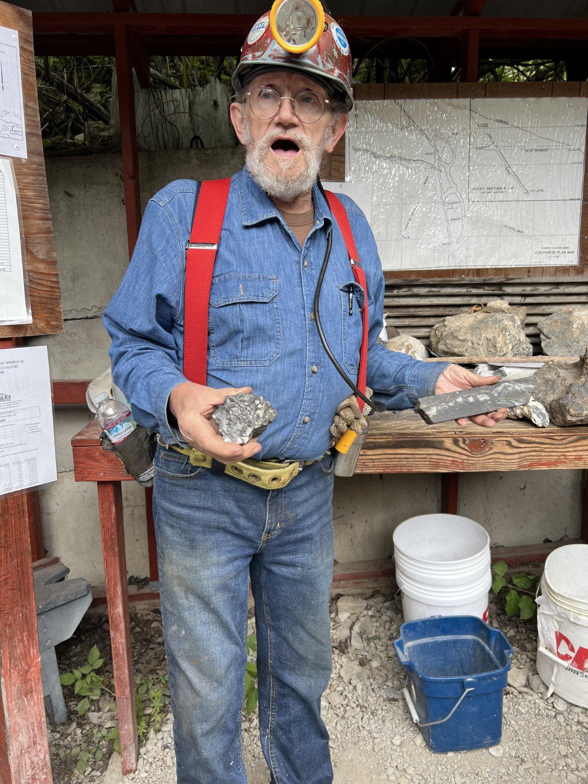
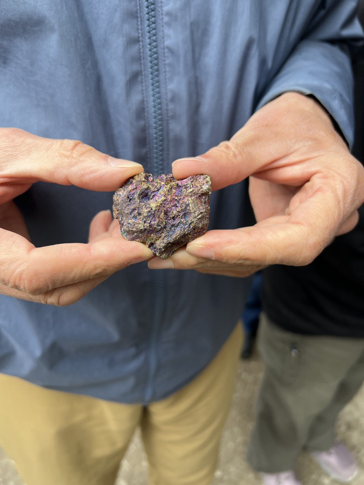
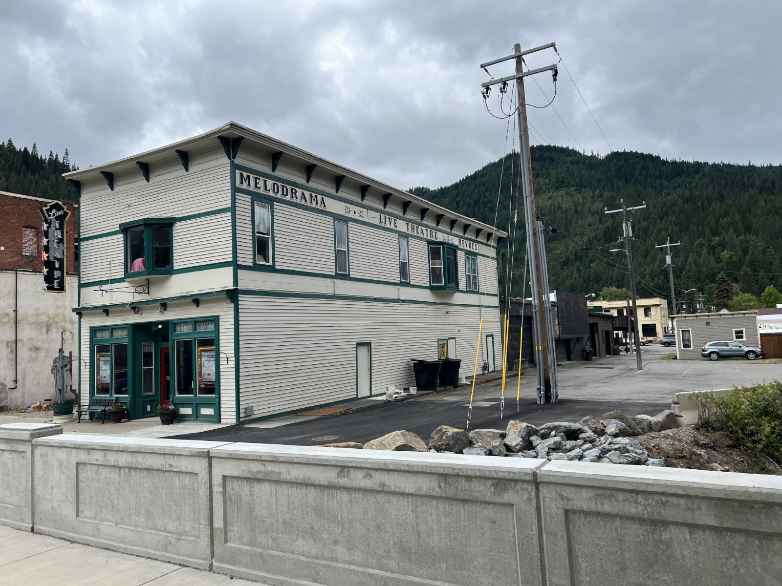
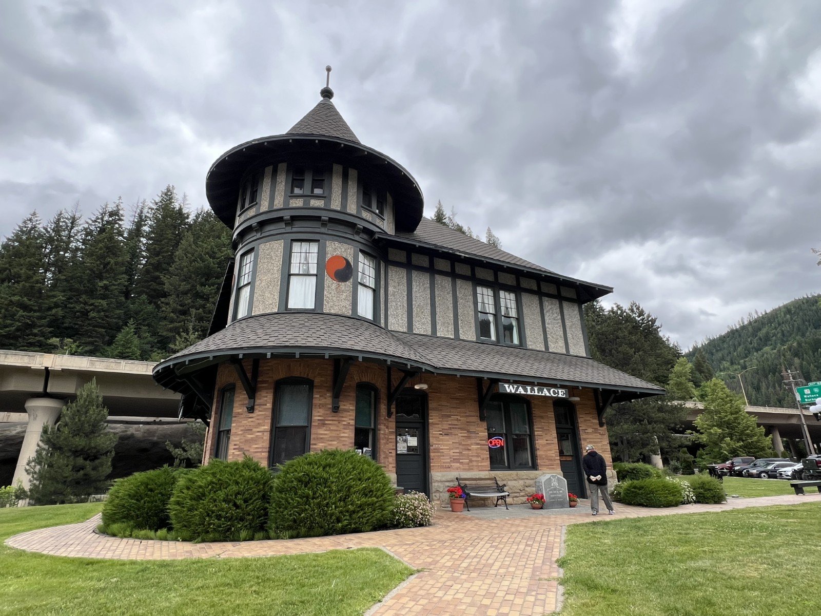
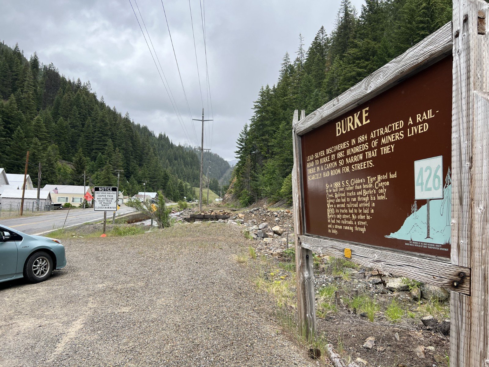
Day 2 - Our “fun day” in Wallace, Idaho featured a silver mine tour, various museums and historical exhibits of the wild west days of mining in Wallace, including a “racy” tour of a former bordello, plus Belt stratigraphy of the Piegan and Ravalli groups.
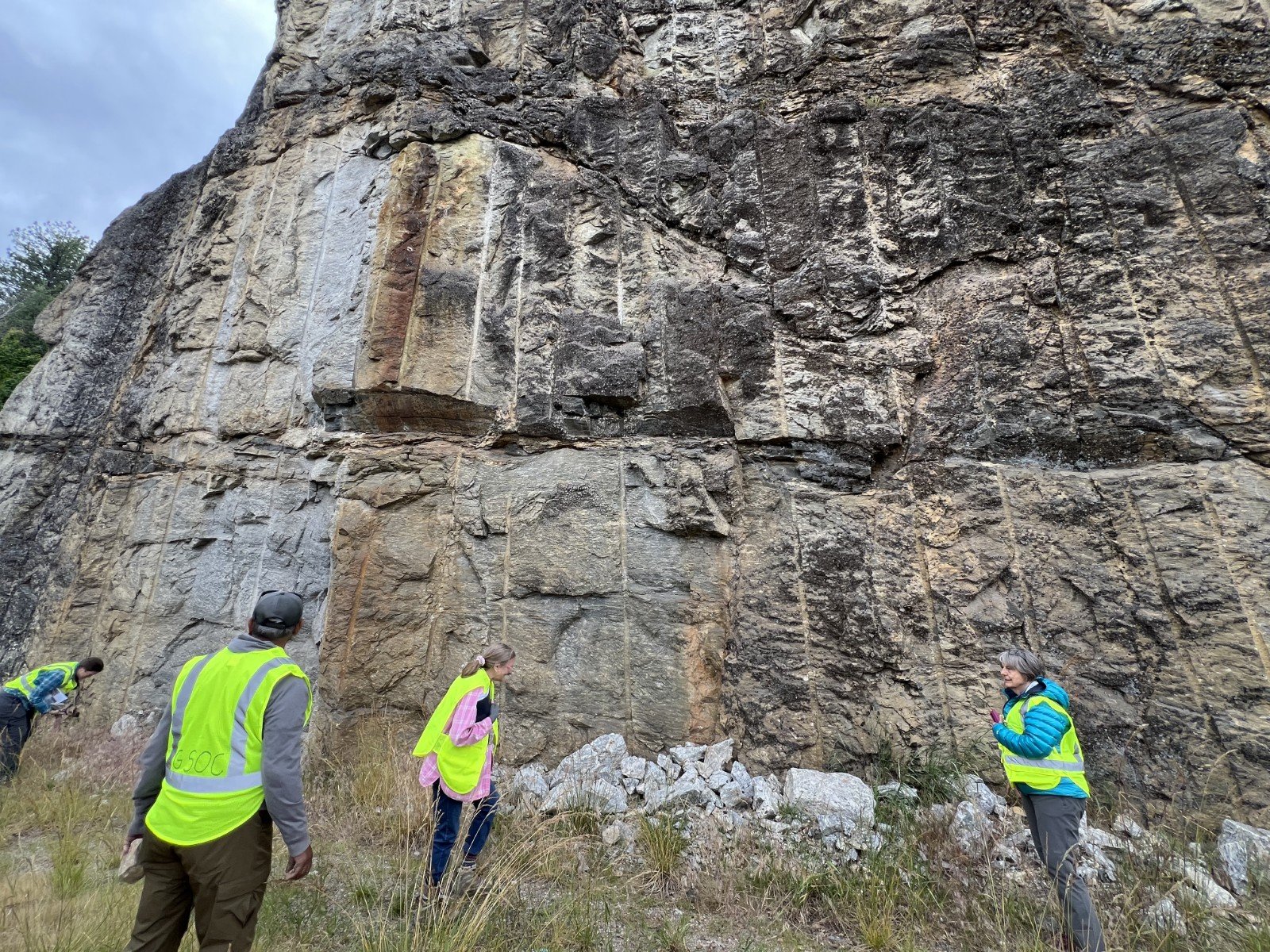
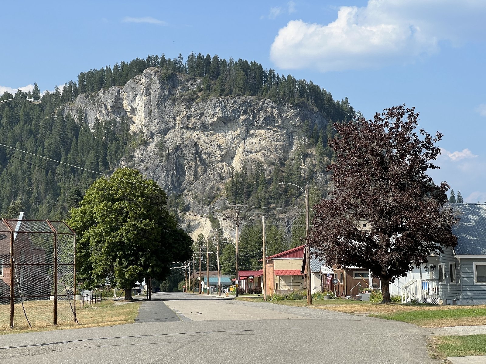
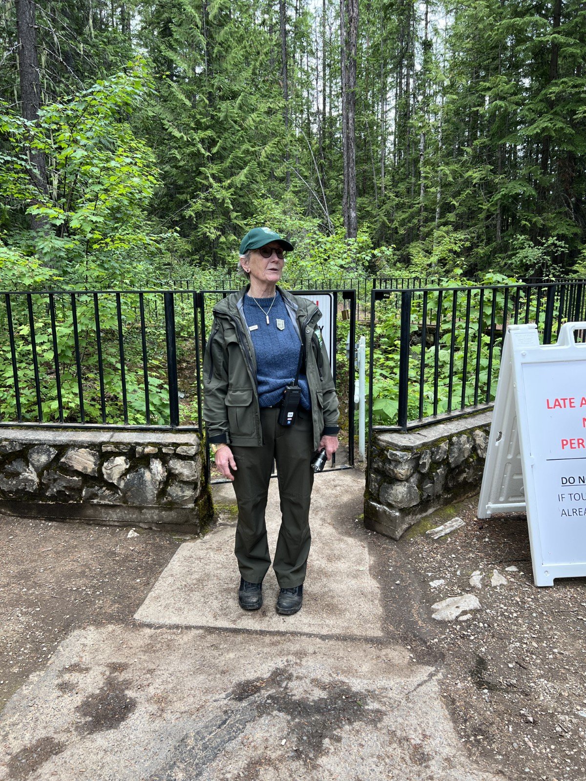
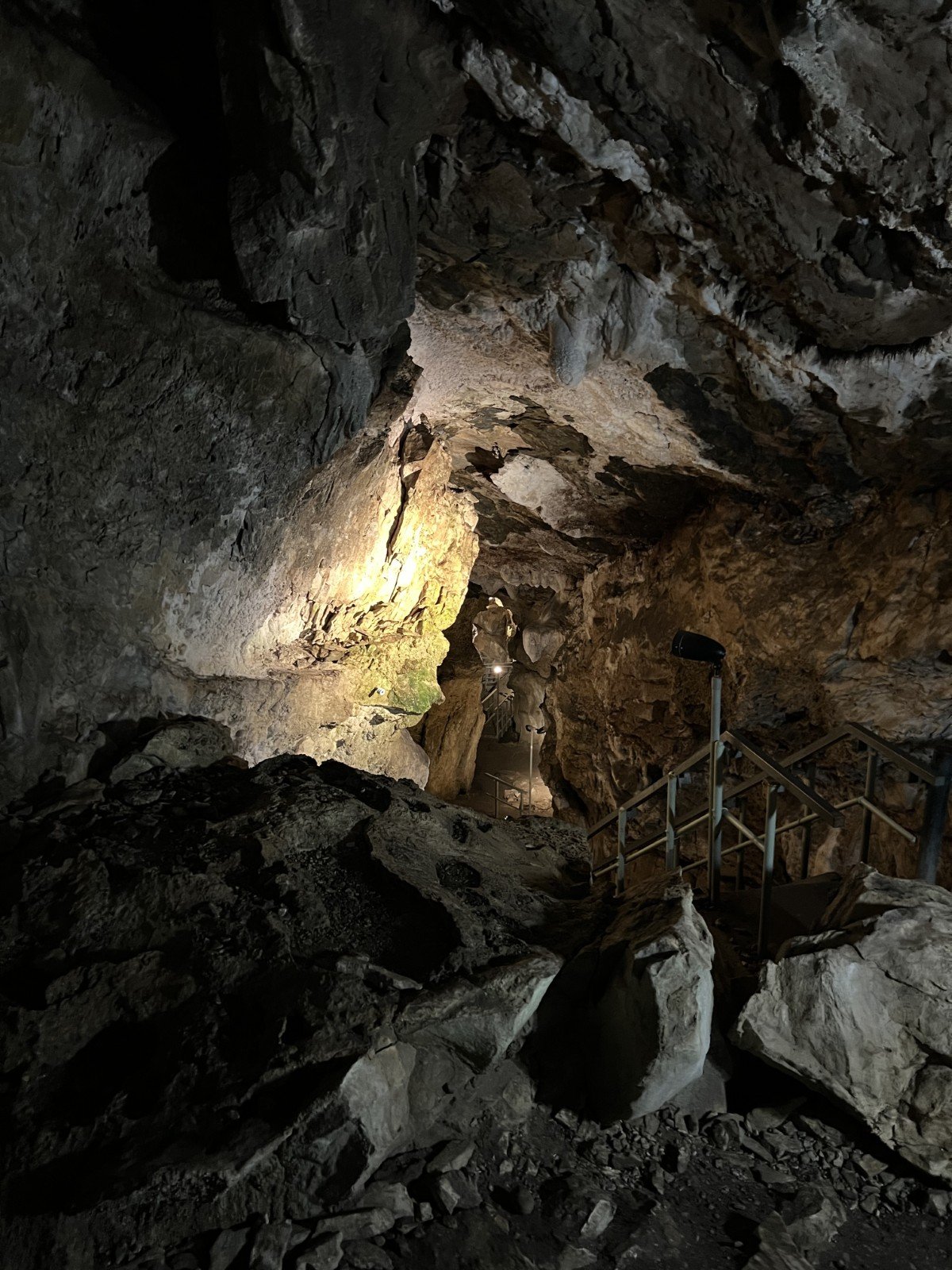
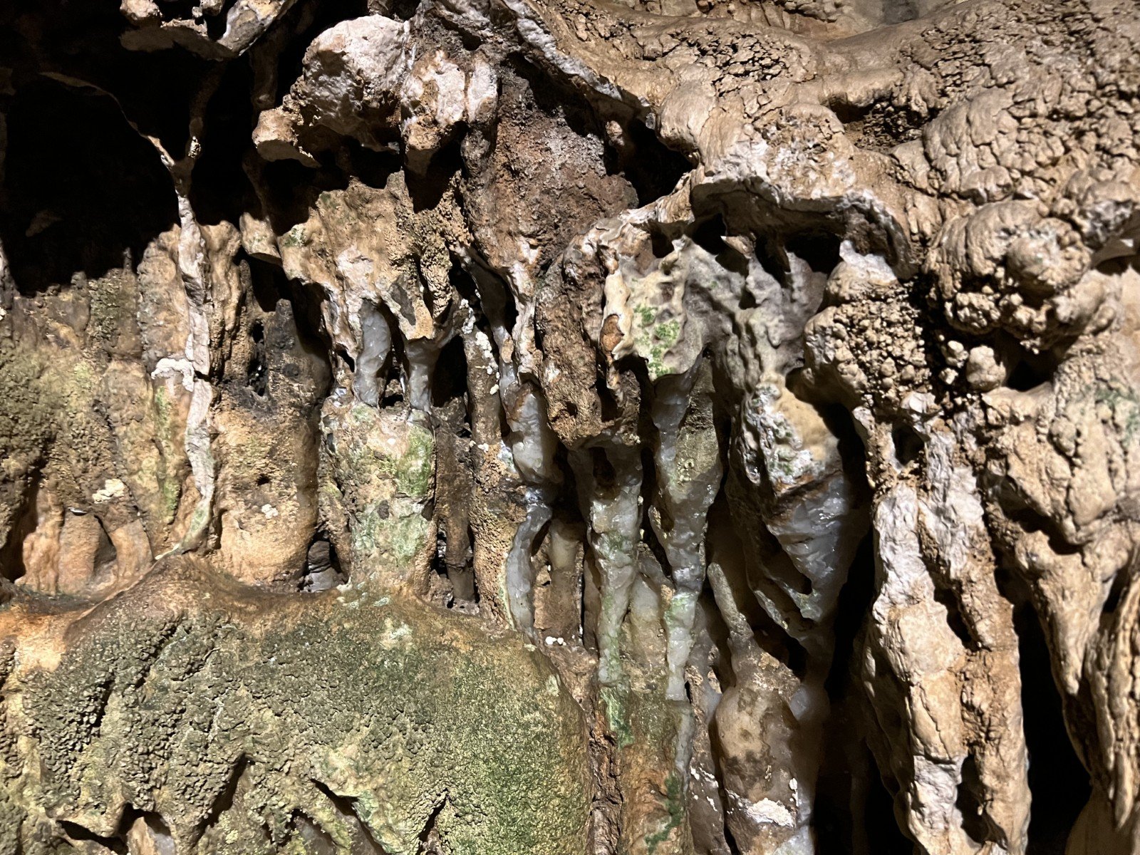
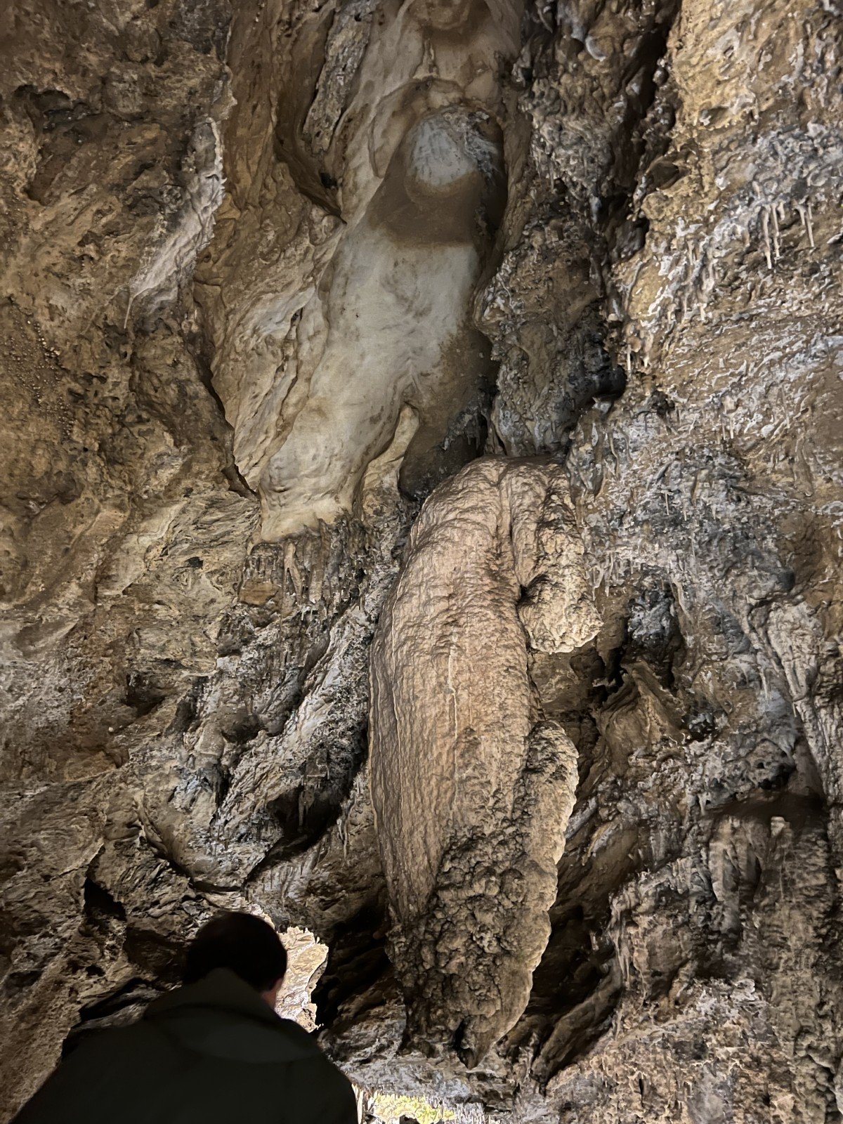
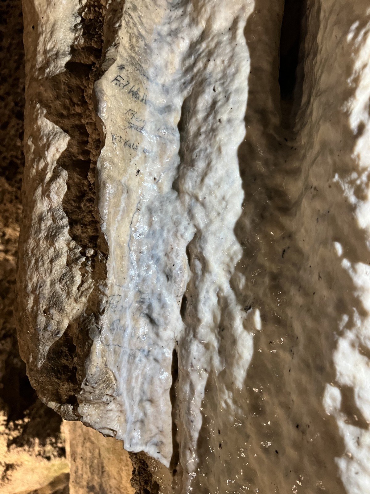
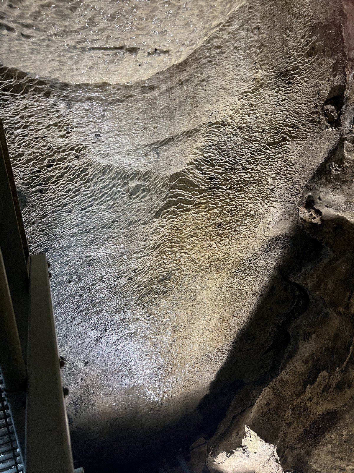
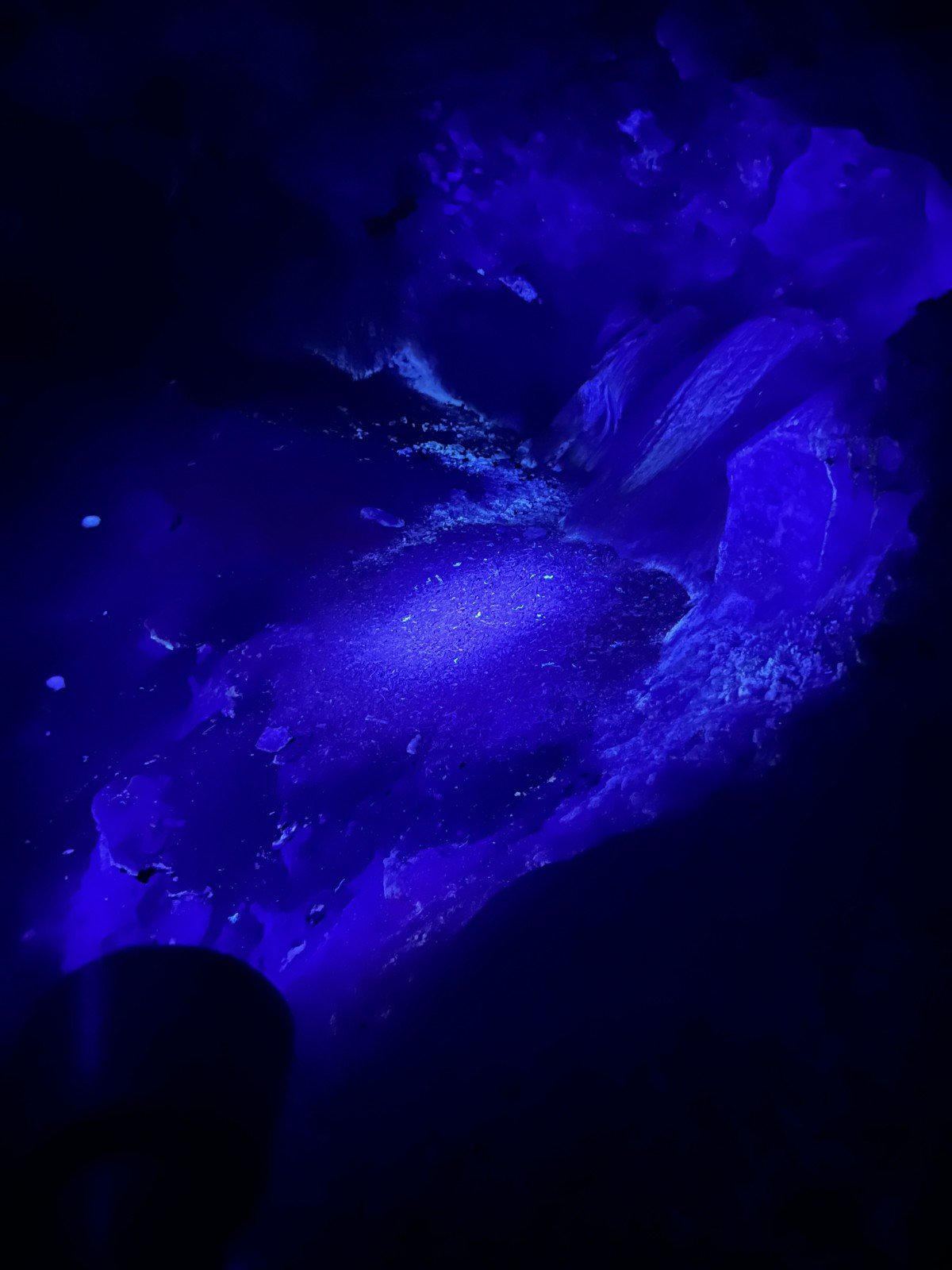
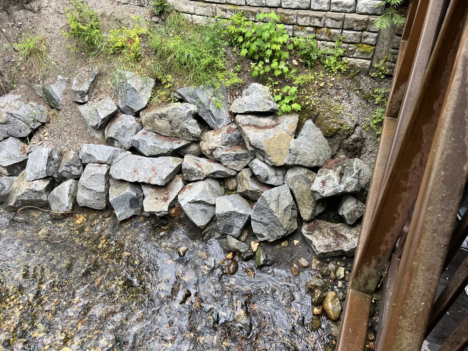
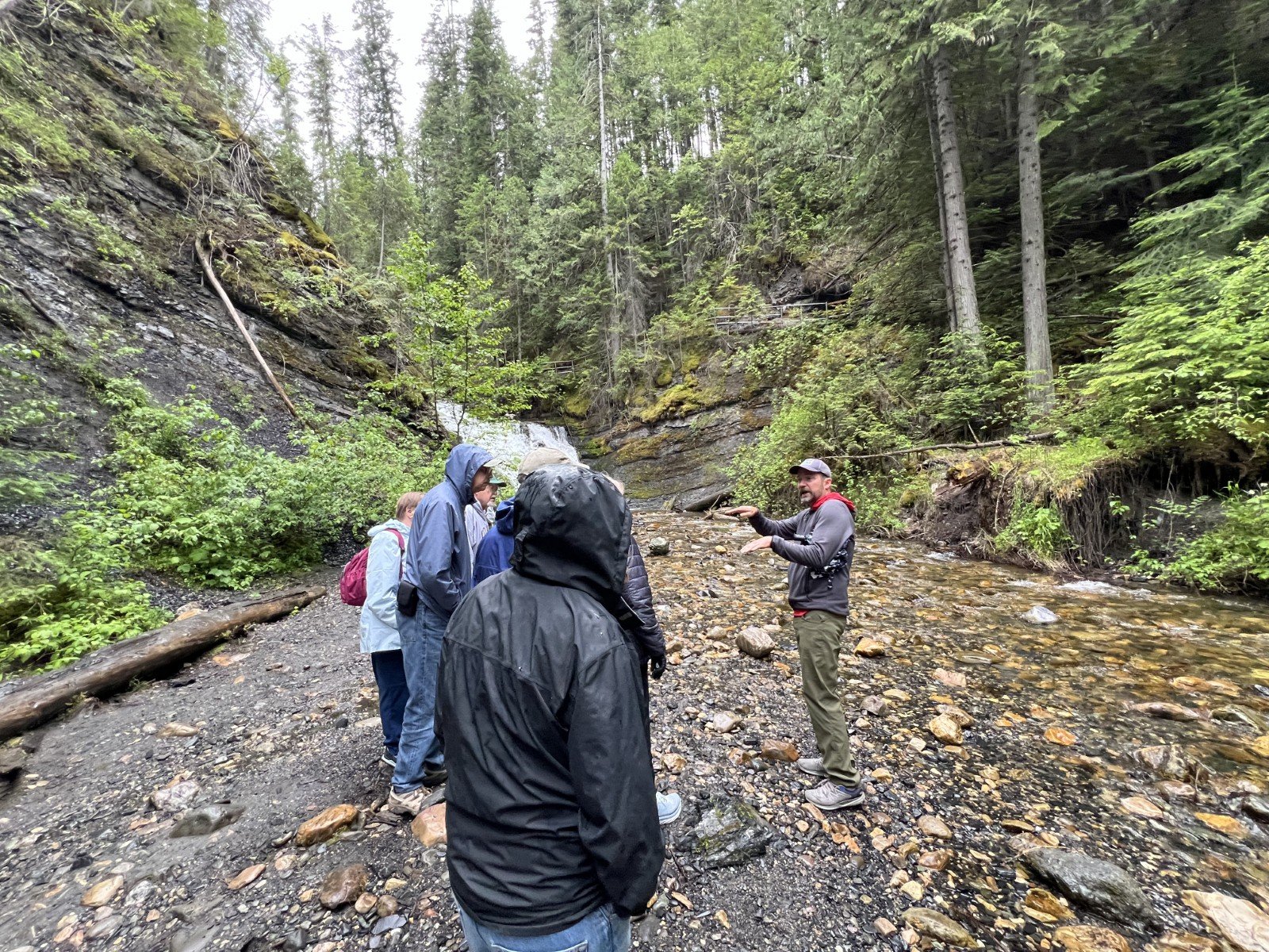
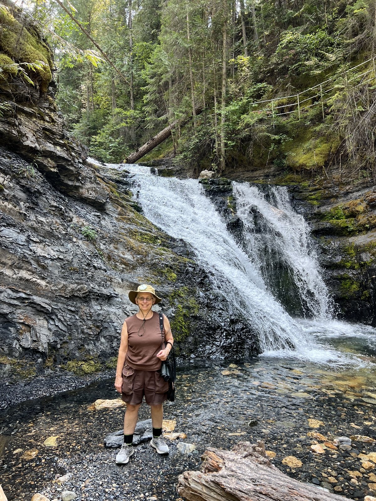
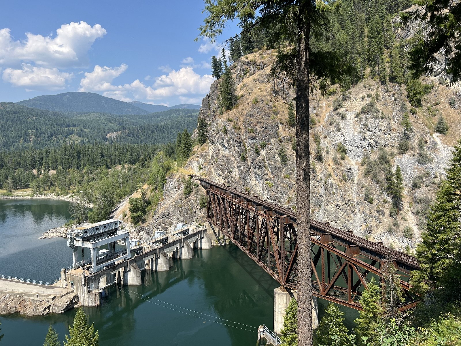
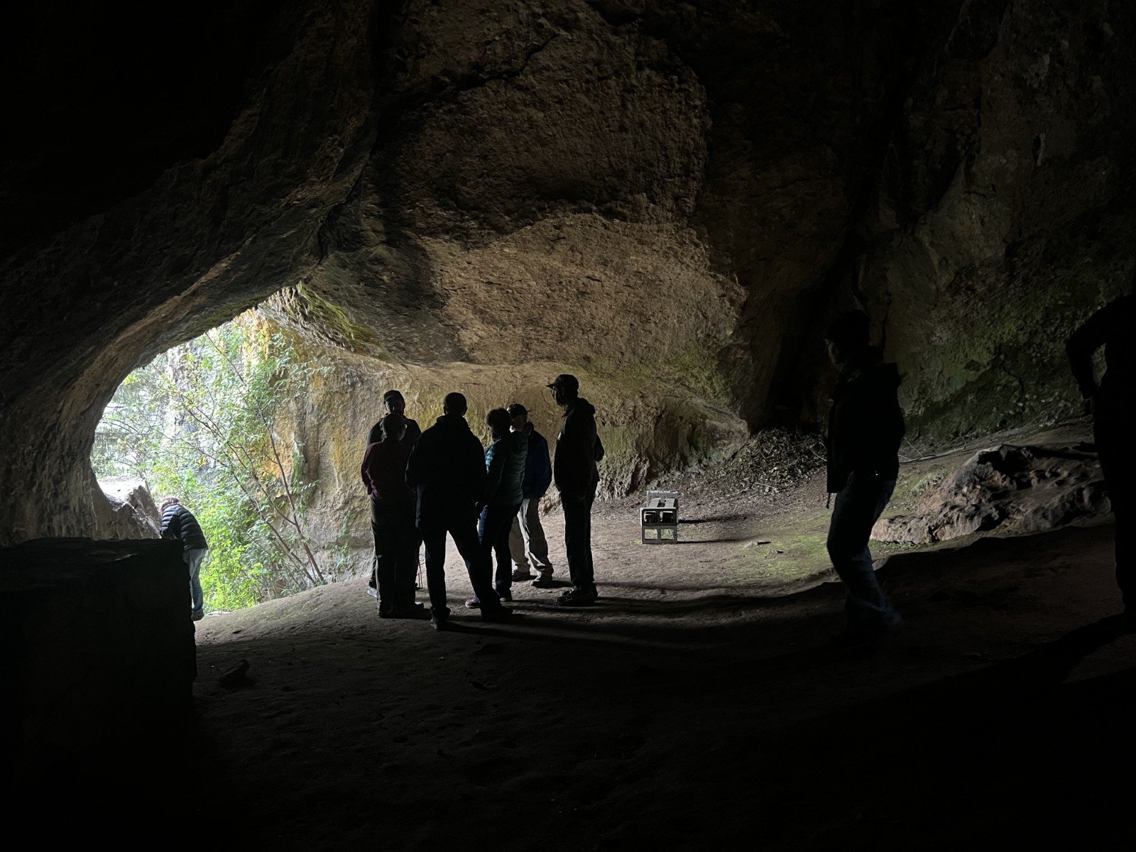
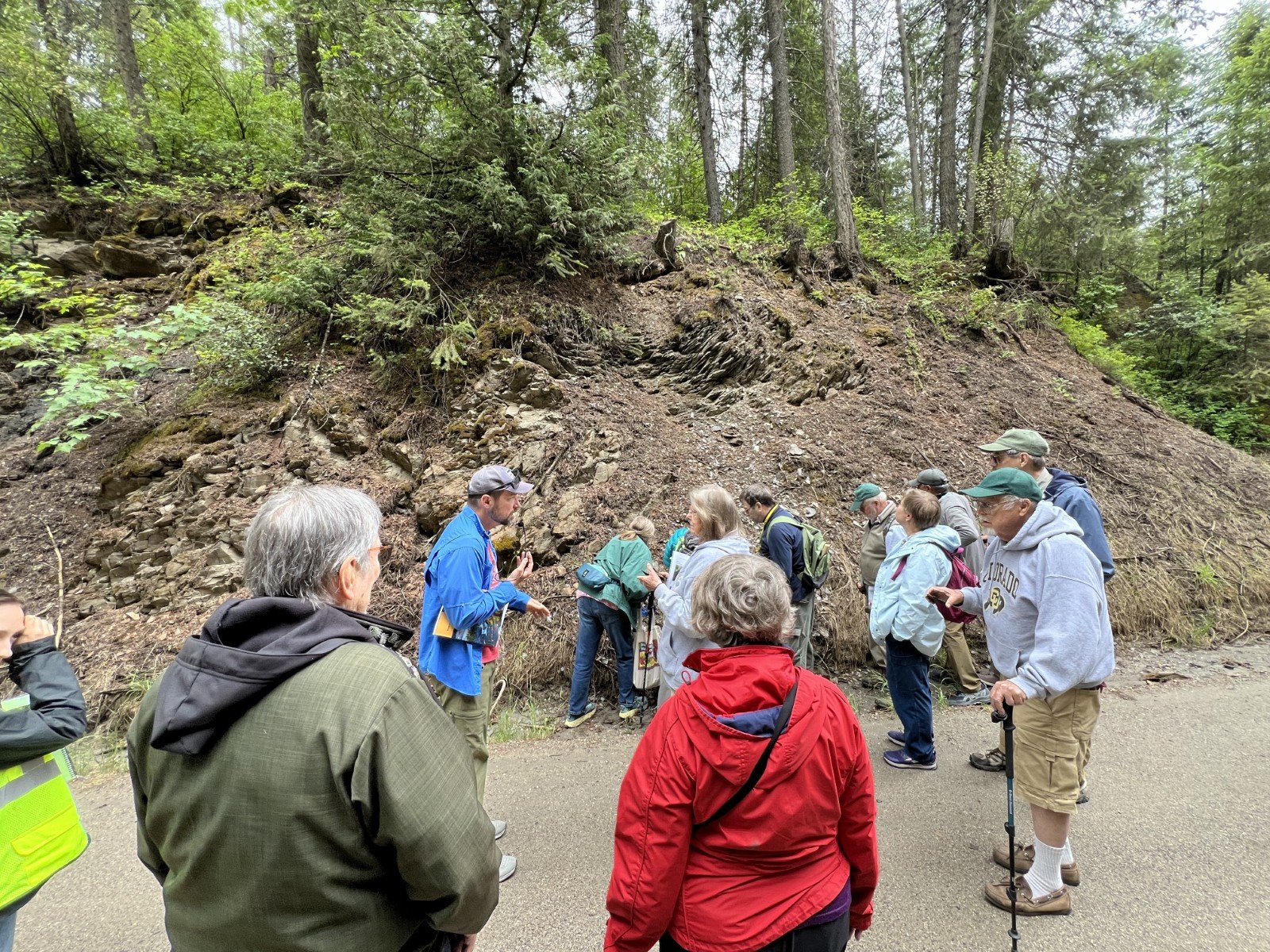
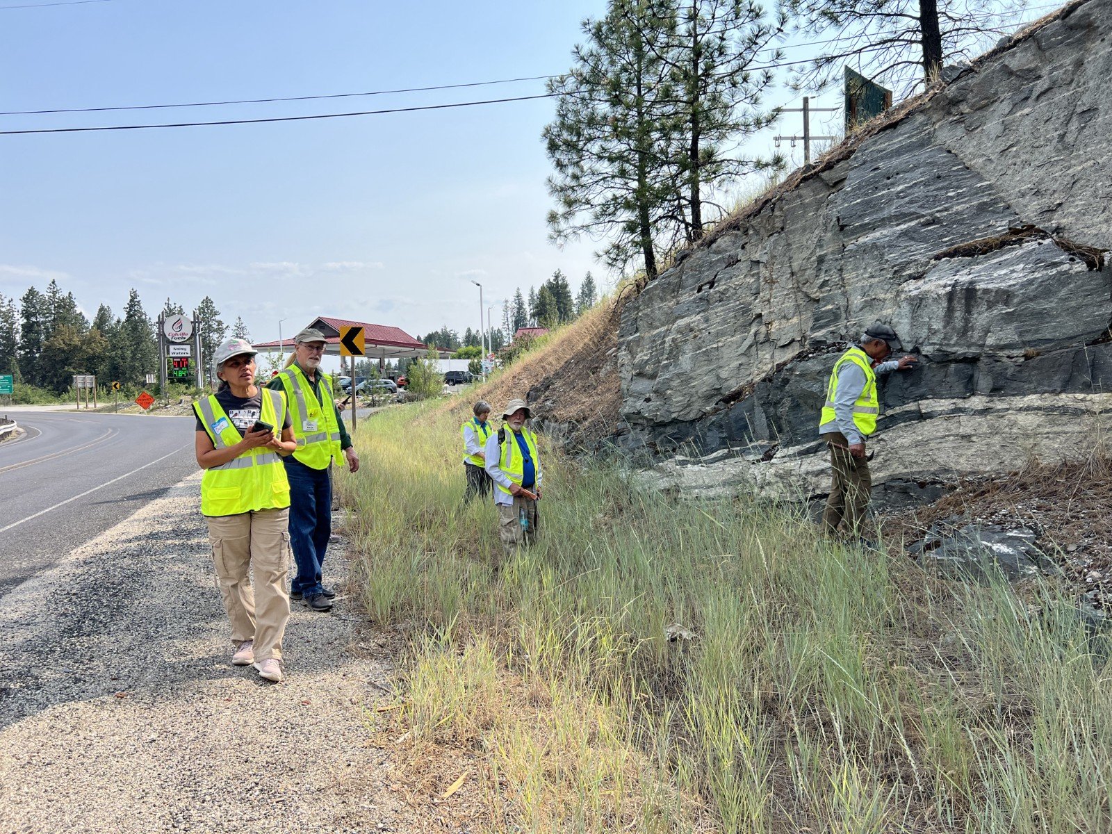
Day 3 - Travelling north from Spokane to the Pend Oreille Valley, where we toured Gardner Cave in the Cambrian age Metaline Formation, the Ledbetter Slate, Maitlen Phyllite and Addy Quartzite in the bed of Sweet Creek at Sweet Creek Falls, overlooked the historic Box Canyon Dam and trestle, and stopped at Manresa Grotto, a cave carved from the Eocene sediments of the Tiger Formation deposited in the western trough of the Priest River Complex.
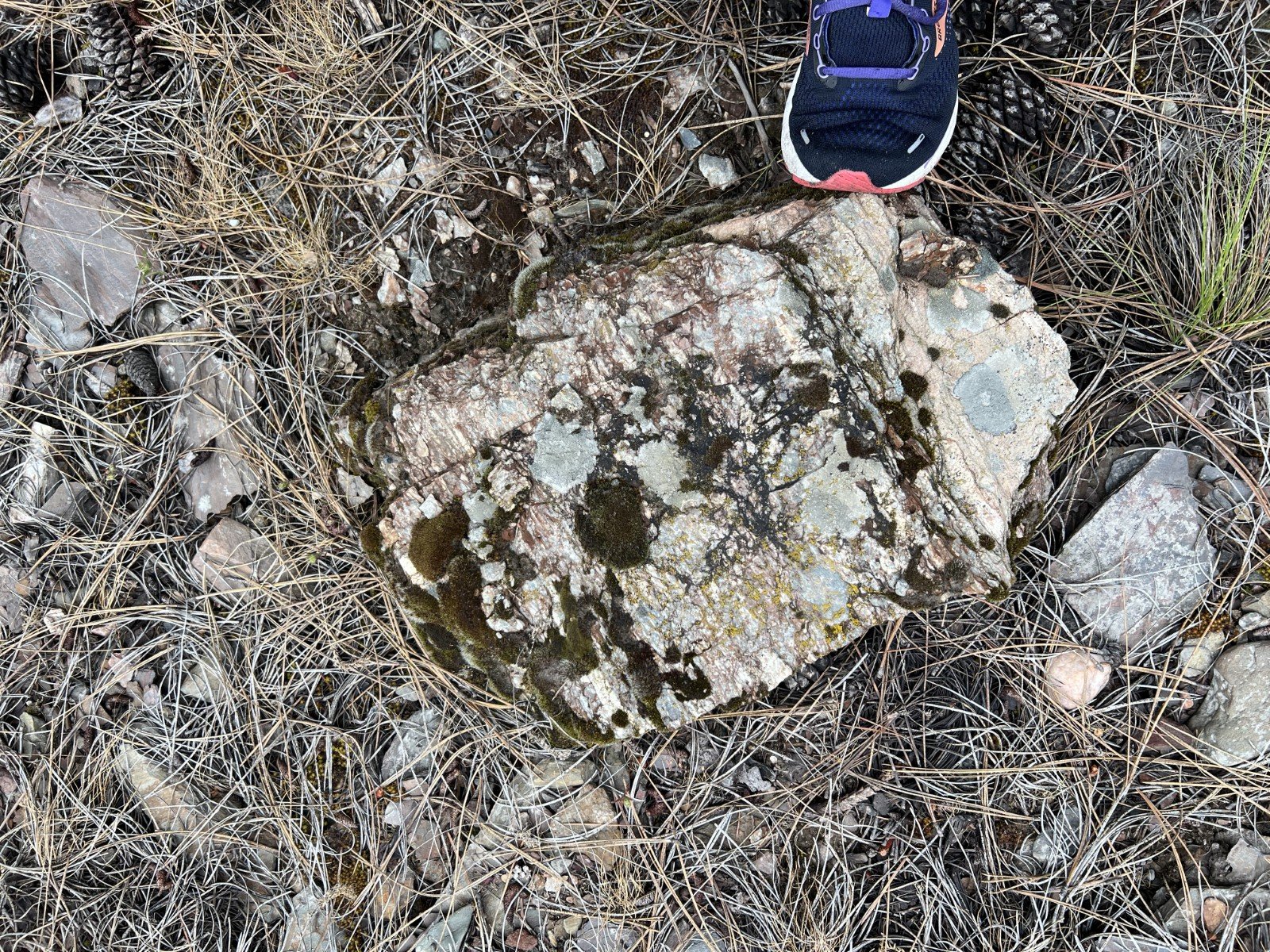
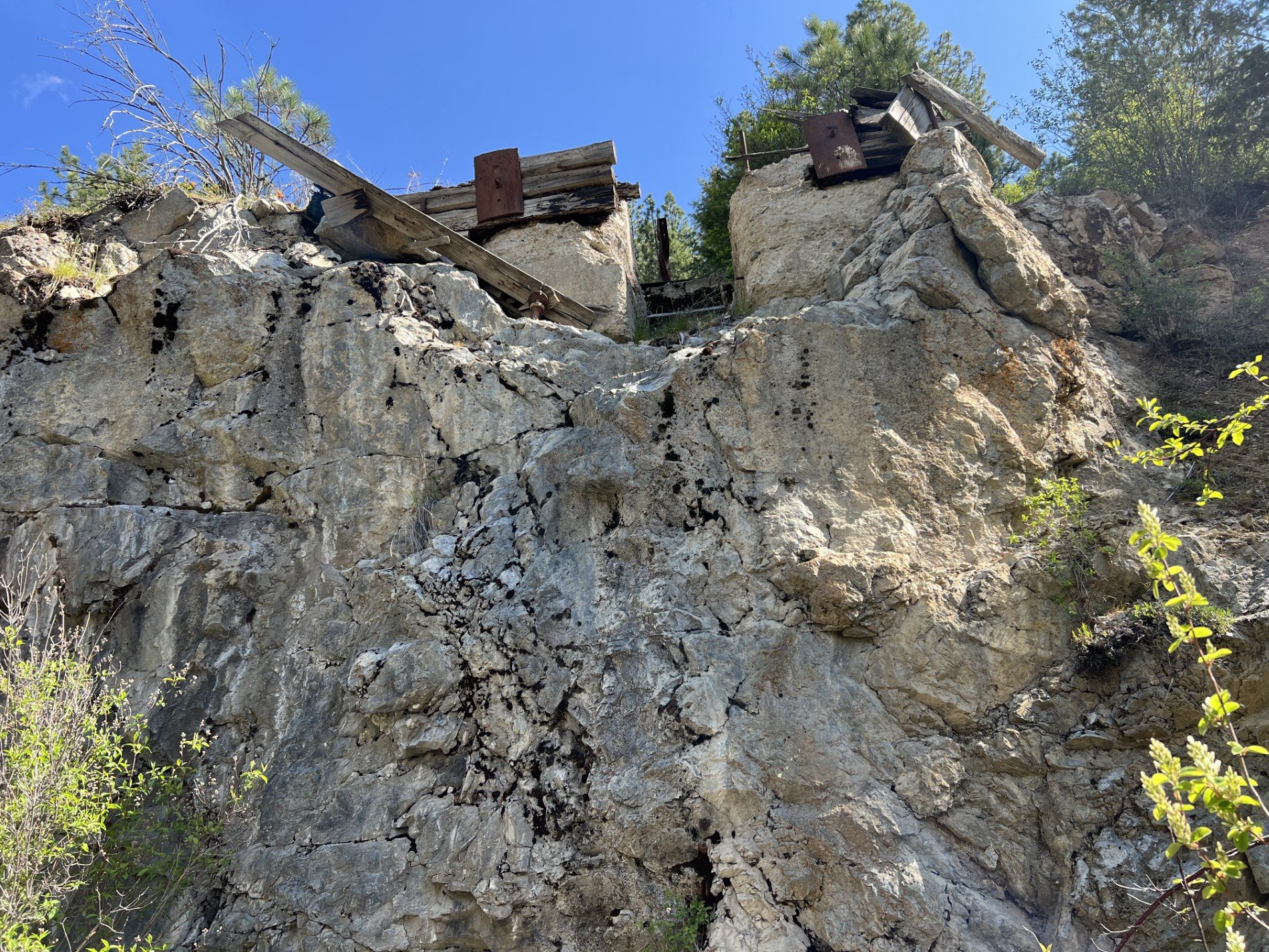
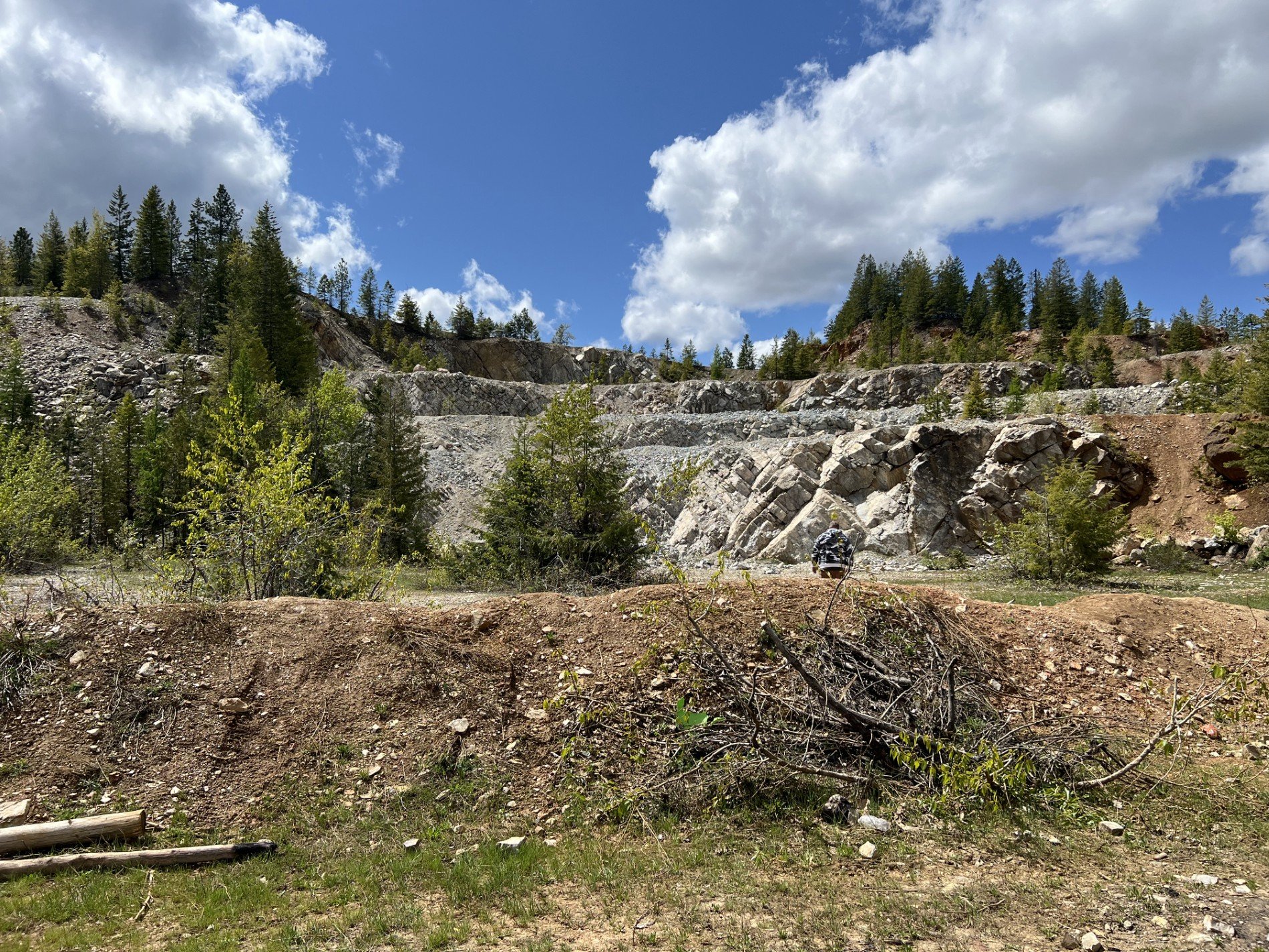
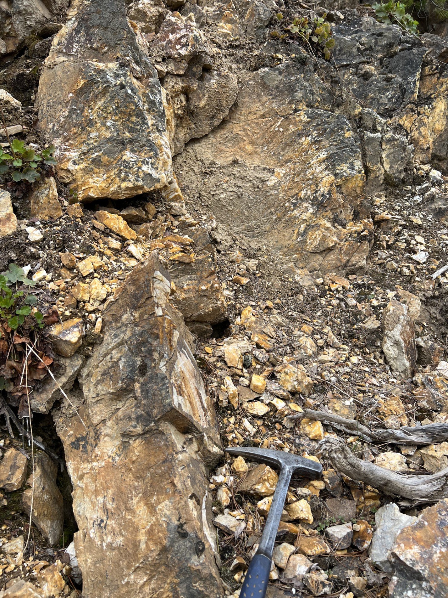
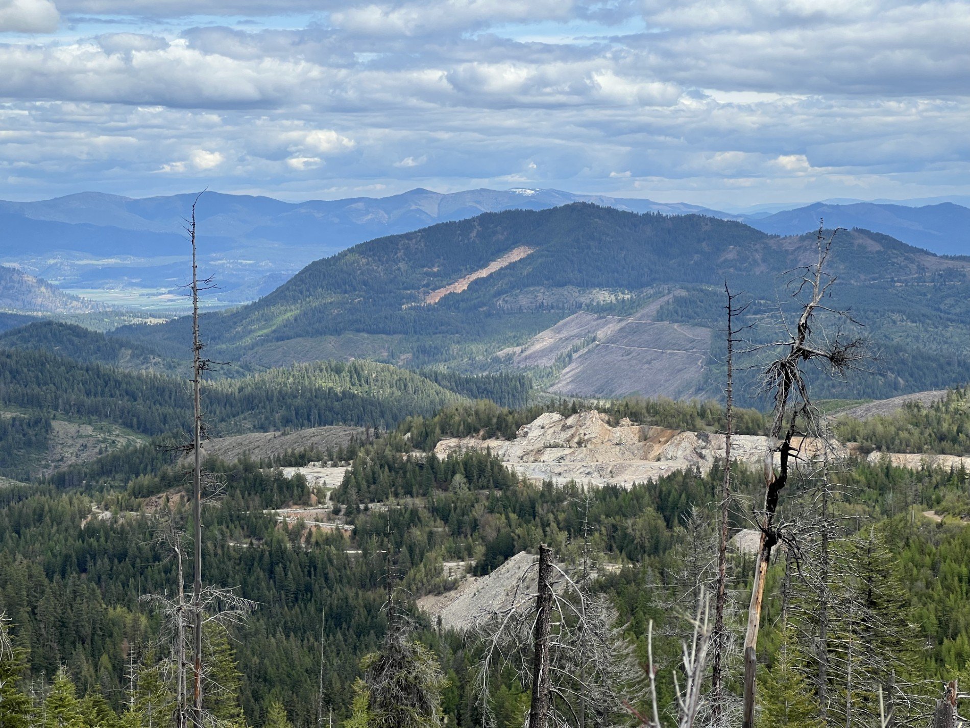
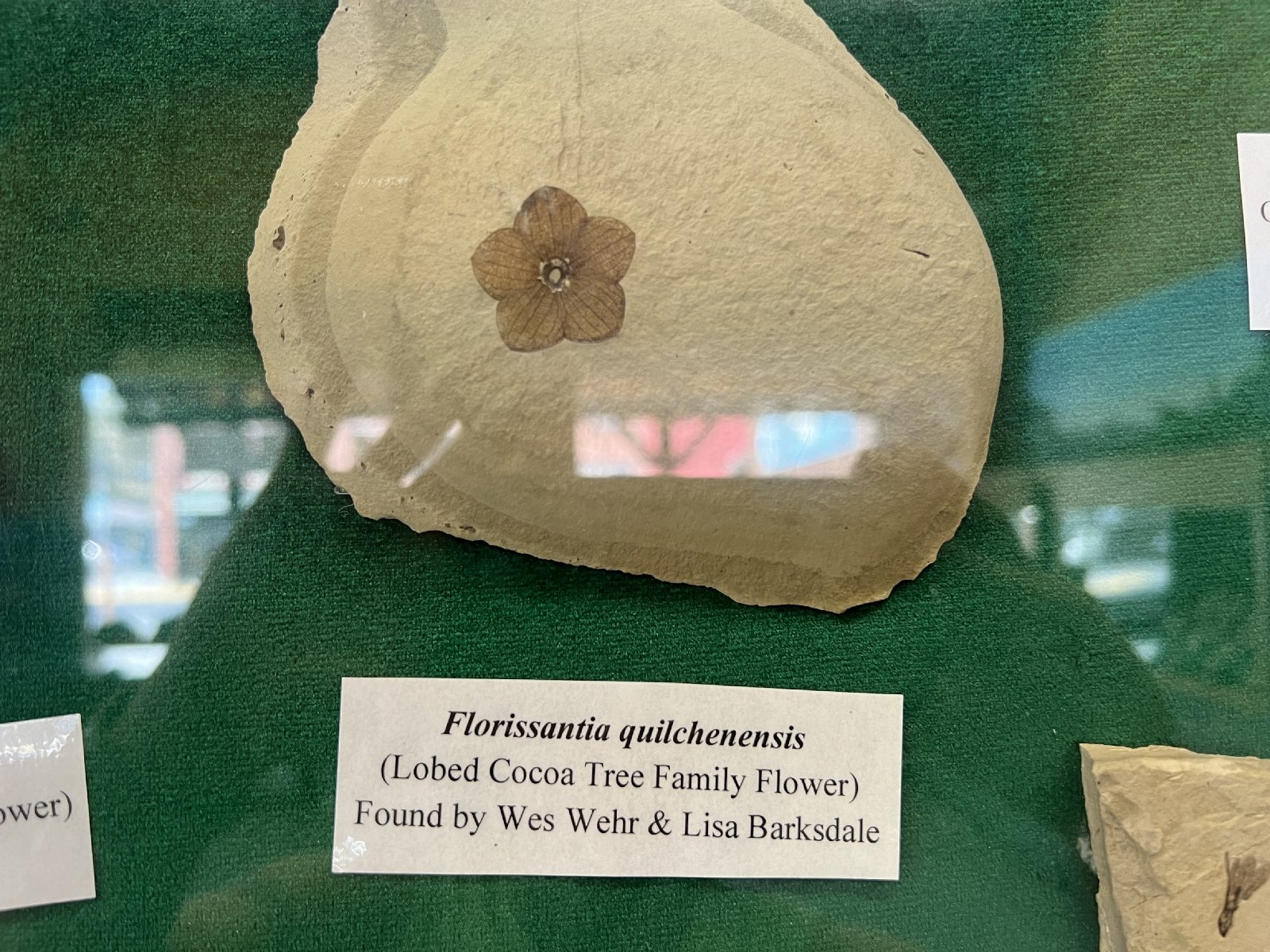
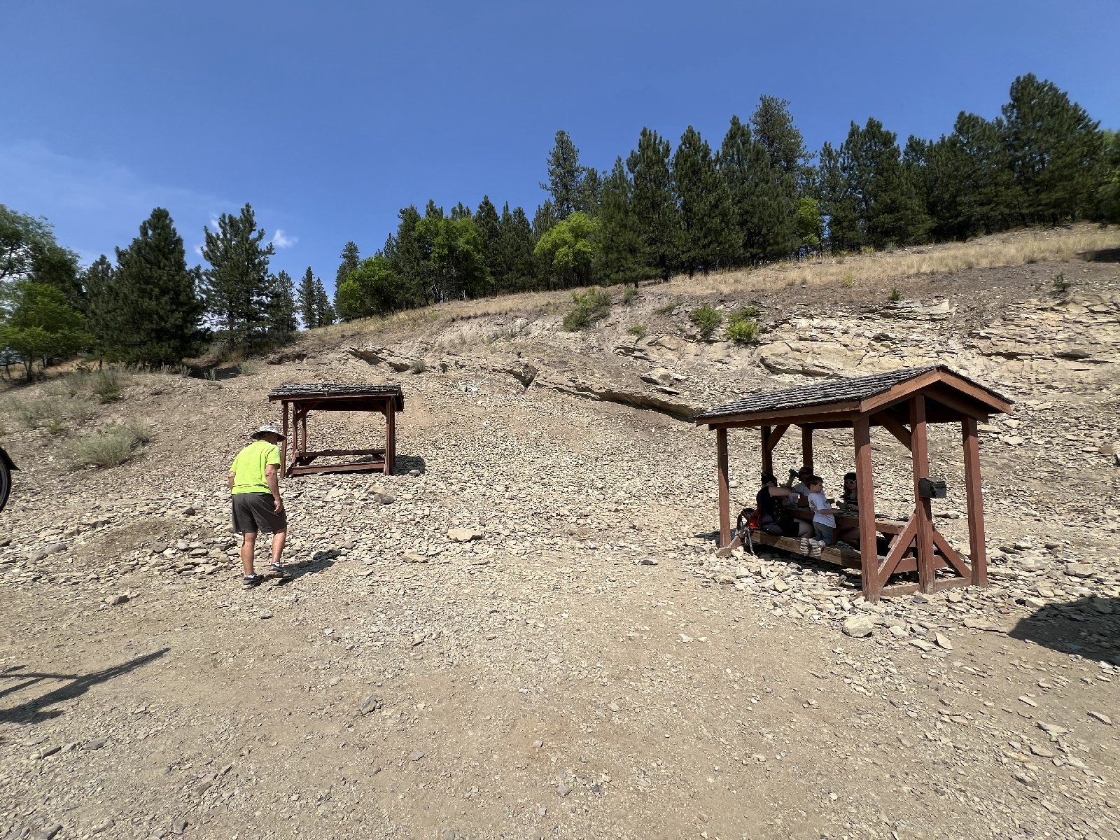
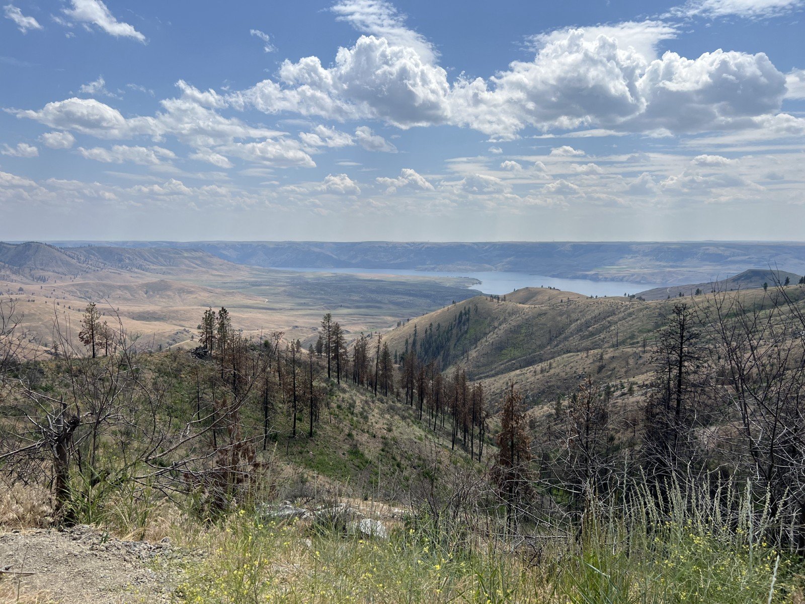
Day 4 - A journey up the Colville Valley northwest of Spokane took us to Valley, WA, where we headed up toward Stensgar Mountain to view the Deer Trail Group and Windermere Supergroup sediments found along the road to Red Marble Quarry. This trip ended at the base of the quarry and its beautiful magnesite minerals in the Stensgar Dolomite. The trip officially ended here but a few of us went on to Republic, WA, to dig for Eocene fossils in the Stone Rose Quarry. On the way we stopped in Addy at the type location for Addy Quartzite and the spectacular mylonite outcrop at Barney’s Junction, metamorphosed in the formation of the Kettle Dome metamorphic complex.
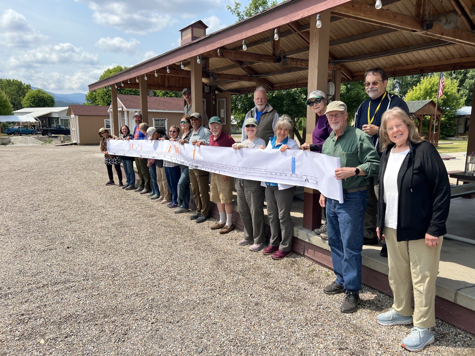
A panoramic view of the timeline created for the trip by Carol is punctuated by colorful exposures of formations viewed along the trip, and the supercontinent assemblages driving the production of the sediments are shown along the bottom edge. Time scale used in the production of this timeline was 1” = 10 Ma (million yrs), and the timeline is over 20 feet long. CLICK PHOTO TO ENLARGE
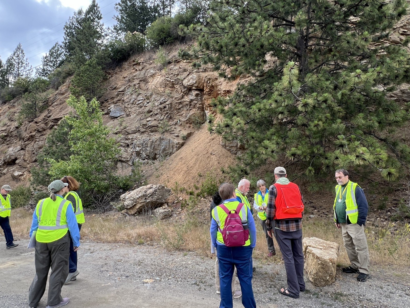
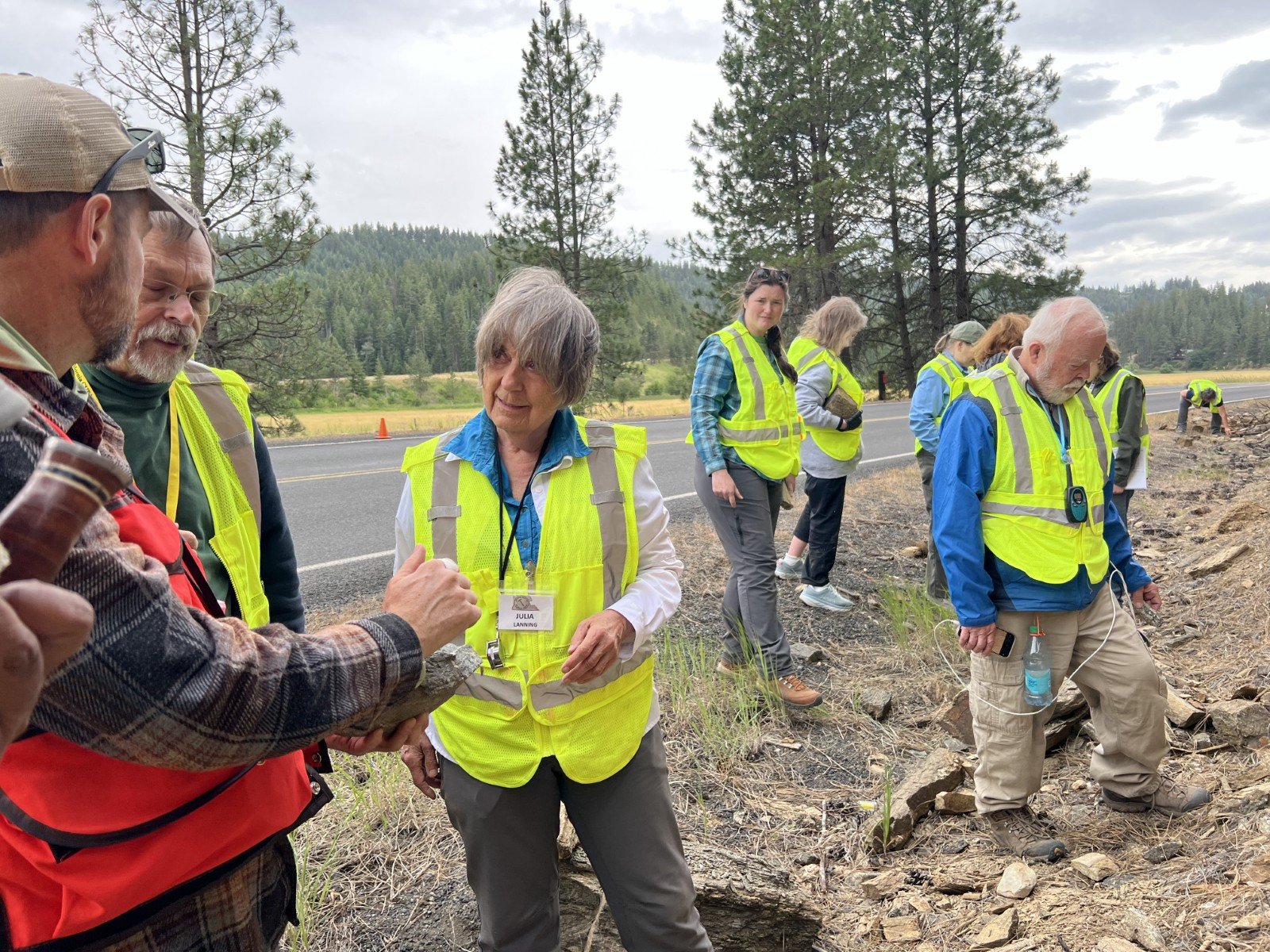
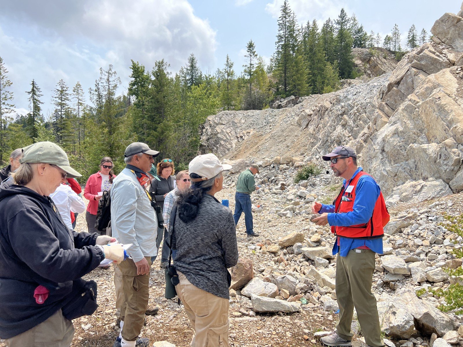
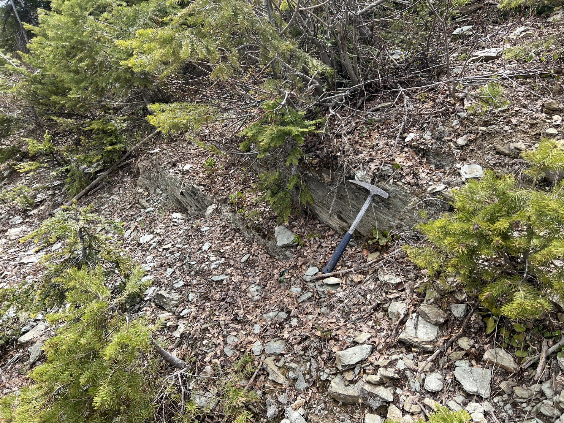
All in all, it was a very fun and educational trip and here are some photos of the highlights:


If you want to find out more about this great field trip, the field trip guide will be available by electronic version to GSOC members on our website starting in the fall of 2025. We also have a few printed copies of the guide which will be for sale at our upcoming fall in-person Friday night lectures. It includes the complete text, references, and stop coordinates for the adventurous!
Thanks again to Dr. Pritchard and all the great GSOC participants!


