Geology of Eastside Portland and Johnson Creek
/
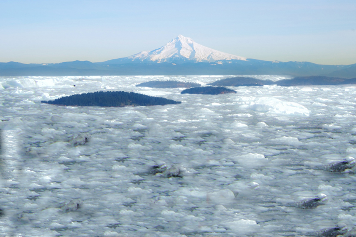
Basalt and quartzites in the Reed College Lake.
by Carol Hasenberg and Paul Edison-Lahm
Moments after the election of the new GSOC board at our February 9th meeting, President-elect Paul Edison-Lahm addressed a near-record crowd with his presentation “An Amateur's Guide to the Geology of Johnson Creek and Eastside Portland.” He explained that since a creek cuts down through vegetation and construction into layers of earth otherwise unseen, the rocks in the creek can tell us the geologic history of the surrounding countryside. Grey basalts and dull orange quartizites, found in the Reed College Lake near his home for example, are clues to earlier epochs of catastrophic volcanism and icy inundation.
The lake is part of the Crystal Springs watershed, which in turn is part of the larger Johnson Creek watershed. Johnson Creek cuts a swath through Eastside Portland along the Multnomah/Clackamas county border, between the Sandy River watershed to the east and the Willamette River to the west. The creek flows west from its headwaters at Cottrell across farmlands; then skirts northwest around the numerous buttes formed by Boring Volcanoes including Mt. Scott; continues west over a plain overlain by Missoula Flood deposits; and finally makes a sharp left-turn southward to its confluence with the Willamette River near the Waverley Country Club.

Johnson Creek flows from headwaters at Cottrell to its confluence with the Willamette in Milwaukie.
Rocky outcrops are few among the rolling farmlands near the headwaters, but a clue to the underlying geology comes from the fact that the Sandy River immediately to the northeast has incised deep meanders in the uplifted plain: the curving ravines at Oxbow Park. Edison-Lahm showed a beautiful map of surficial geology (created by Lina Ma and Ian Madin at DOGAMI) projected on a Google Earth view of the Sandy River ravine. This view shows that the headwaters plain is topped by a layer of glacial loess (windblown silt) which overlays ancestral Columbia River gravels — the Troutdale Formation — deposited in the Miocene and Pliocene. The loess is responsible in large part for the great fertility of the headlands. The Troutdale formation, found throughout the Portland basin, is readily identified by the orange quartzite cobbles which originated in the Montana fold belt and were brought here by the ancestral Columbia river.

Detail from DOGAMI map (Ma, Madin, et. al) showing Johnson Creek Watershed boundary. Moving east to west: cream represents windblown sediments (loess); blue is ancient river rock, predominantly Troutdale formation; pinks are Boring Volcanics; tans are Missoula deposits; and a sliver of grey indicates the Waverley formation basalt.
Moving further downstream, the creek bed now contains vesicular basalt-andesite cobbles from the adjacent Boring volcanic buttes. Edison-Lahm showed a composite photo of Mt. Tabor erupting, reassuring the audience that, even though we are still likely in the era of Boring Volcanism which has continued intermittently for the past 2.7 million years, it is unlikely that we will have another eruption in the Portland area for a few more millennia yet. There are more than 80 Boring vents in the Portland metro area, including those in the Johnson Creek area such as the Mt. Scott, Powell Butte, Jenne Butte, and Walters Hill. Curiously Mt. Tabor, Powell Butte, and Kelly Butte contain Boring lava vents, and yet are primarily composed of the much older Troutdale formation due to processes that are still the subject of speculation by geologists.
Missoula floods covered East Portland to a depth of 150 meters.
The remaining reaches of Johnson Creek flow west past Mt. Scott over Missoula flood sand and gravel deposits. The catastrophic Missoula floods from the ice-dammed Clark Fork River in Montana rushed into the Portland basin at least 40 times during the Pleistocene, covering the landscape to a depth of 150 meters, and leaving behind voluminous sand and gravel deposits. In the northeast sections of the Portland basin, the deposits are coarser-grained as foreset beds of gravels were laid down when flood waters slowed on emerging from the Columbia River gorge. A 1934 photo of the Division Street gravel pit (now Portland Sand and Gravel) shows the cross bedding of the gravel deposits, which demonstrating the direction of the depositional environment. To the south and west, deposits are finer grained where the waters had the chance to pool as temporary “Lake Allison.” The slackening waters deposited graded beds of sand, silt, and gravel, called rhythmites. When exposed in cross-section in hillsides close to the Willamette River, these rhythmites show up to 40 successive pulses occurring. The location of these deposits is a critical concern for people living on the Eastside, since the Cascadia quake will be much more destructive for people who live on top of the fine rhythmite deposits than those who live on the bedded gravel deposits.
As Johnson Creek descends off the gravel terraces, it joins with Crystal Springs, takes a sharp left turn into an abandoned channel, and flows south. The Eastside channel containing the creek runs five to six miles north-south between Portland's Central Eastside and Milwaukie, along Highway 99E and the Union Pacific tracks. The geologic origins of this channel are something of a mystery. Historically streams have flowed through the channel to the Willamette both to the north and to the south; although perhaps it was also a backflow channel during the Missoula floods, created when the floodwaters flowed north out of the Portland basin. (The topic of PNW rotation will be discussed at greater length by Ray Wells at our May meeting.)

Waverly Basalt at Johnson Creek/Willamette Confluence.
Johnson Creek then continues south to its confluence with the Willamette River in Milwaukie immediately south of the Waverley Country Club. Waverley is the type locality for the Waverley Formation basalts, first identified by geologist Terry Tolan. Recent unpublished work by GSOC members Dr. Paul Hammond and our newly elected Director Megan Faust, shows that the Waverley formation may originate from the same mantle plume as the Yellowstone Hot Spot and Columbia River basalts. Hammond's works shows that, when the hotspot track is projected backwards in time, the clockwise rotation of Oregon and the Pacific Northwest can account for the presence of the Waverley formation in the Portland area.
In the course of his research, Edison-Lahm learned of a Native American artifacts that had been discovered just blocks from his home in the Crystal Springs watershed: a "Windust" projectile point possibly 8,000-10,000 years old. Edison-Lahm discussed the political and historical difficulties of ensuring that the last 14,000 years of Native American presence in the watershed be recognized and that the artifact not be presented out of the context of its current significance to the many modern day tribes in Oregon and Washington.
Finally, Edison-Lahm thanked the many contributors to this project, including the Johnson Creek Watershed Council, emphasizing that being a successful amateur — in addition to requiring a good map and a hand lens — depends on the successful collaboration between professionals and amateurs.
Edited 6/4/18 correcting artifact information.
Additional Reading
Geology.com site for general information about geology.
Madin, Ian, "Portland, Oregon, geology by tram, train, and foot," Oregon Geology, Volume 69, Number 1, Fall 2009.
Russell C. Evarts, Jim E. O’Connor, Ray E. Wells, Ian P. Madin, “The Portland Basin: A (big) river runs through it,” GSA Today, Volume 19, Issue 9 (September 2009).


Field Trip Director
Annual Newsletter Editor
fieldtrips@gsoc.org