Speaker Mike Collins Provides Dramatic Visualizations of Hotspot Evolution
/One of Mike's excellent scratchboard drawings of Steens Mountain.
Synopsis of February Friday night Lecture with Speaker Mike Collins
by Carol Hasenberg
Mike Collins, a retired administrator in manufacturing, and an avid mountaineering and geology enthusiast, presented his slide show “Flood Basalts, Hot Spots, and Spreading Centers and the Creation of the Western Landscape,” to a full house last month at the GSOC Friday night lecture. His show was based upon a manuscript he has produced explaining the evolution of the Western landscape in terms that non-technical people can understand. It is lavishly illustrated with scratchboard drawings that he has drawn, which take the reader back to scenes he describes in the book.
Collins’ research included 27 trips to the Tetons.
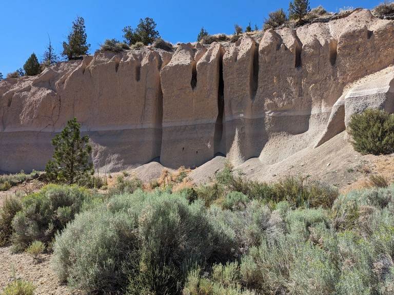
Collins was inspired to create this work as a result of a Geologic Society of America (GSA) seminar which he attended at a national GSA meeting a few years ago in Portland. Collins’ personal journey began with a visit to Multnomah Falls as set in its backdrop of a multitude of flood basalt layers, which represent lava flows from hundreds of miles away. He then spent time in southeast Oregon near Steens Mountain and the Alvord Desert. This lead him to McDermitt Caldera, the scene of violent rhyolitic eruptions and the beginning of a track across Oregon, Idaho, and terminating at Yellowstone Volcano in Wyoming. This “hot spot” trail has proved to be very fascinating for Collins and has fueled his interest in geology and led him to research this and other phenomena that created the Western landscape.
In his research into hot spots Collins found 45 active hot spots described, with 8 under continents and 3 under North America. Hot spots under land masses tend to produce massive volcanic eruptions in the form of “supervolcanoes” as is commonly described today. These supervolcanoes are compared in size by a metric known as the Volcanic Explosivity Index (VEI). VEI level 8 is over 1000 cubic kilometers of material, and the greatest volcanic eruptions known on earth. Each level below that is an order of magnitude less, i.e., VEI level 7 is 100-1000 km3, etc. The greatest single volcanic eruption in the last 25 million years occurred 74,000 years ago at Lake Toba in Sumatra, producing 2800 km3 of material and an earth changing event in terms of destruction and disruption of ecosystems and species. The Yellowstone supervolcano has produced at least 2 VEI 8 eruptions and one VEI 7 eruption.
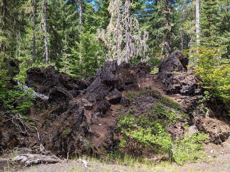
Collins likes to put the reader “in the picture” (Monument Dike Swarm)
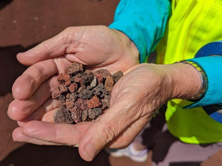
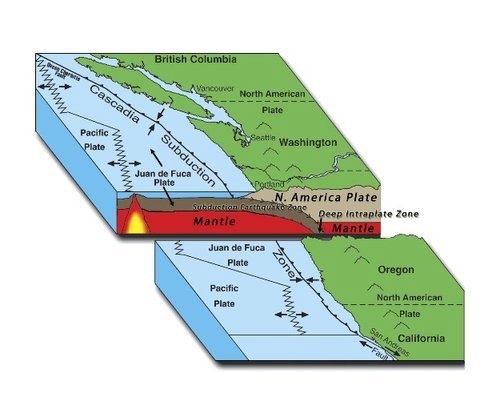
Collins then focused on the hot spot which produced the McDermitt Caldera, the Snake River Volcanics in Idaho and the Yellowstone Supervolcano. He found information that it was located 55 million years ago under the Farallon tectonic plate, now mostly subducted under the North American continent. Its eruptions in Oregon began 29 million years ago in the Clarno eruptions, including the Tower Mountain and Crooked River volcanoes. Then about 17 million years ago a massive quantity of basalt magma was produced through three series of sheet dike complexes: Steens, located at Steens Mountain in Oregon; Chief Joseph in Oregon, Washington, and Idaho; and Monument near John Day, Oregon. These fissures produced thousands of cubic miles of liquid basalt lava that covered much of what is Oregon and Washington today. We know these lava flows today as Steens Basalt and Columbia River Basalt, and it has been shown that they share the same chemical signature which denotes a common origin. In addition to the basaltic magma, the hot spot also produced the very violent rhyolitic eruption at McDermitt Caldera at about the same time as the nearby Steens. A series of eruptions then tracked east across Idaho with progressively decreasing age dates to the Yellowstone Volcano, which last erupted 640,000 years ago.

North American Continent Moves West
Near the end of his talk Collins described some of the magma, the subducting Farallon tectonic plate, and crustal extension, thinning, and fracturing that has contributed to this volcanism. Much of this mystery has been largely conjecture in the past as scientists were able to discover facts about the earth’s mantle (liquid rock surrounding the earth’s iron core) through surface lava chemistry and crude seismic imagery. With increasing computational power and expanded seismic networks, seismic imagery and tomography has greatly improved our understanding of the mantle and will continue to improve. Collins showed cutaway sections of a current model for the interaction of the Yellowstone hotspot and also some current seismic images of the pieces of the subducting Farallon plate.

Size of Plume Head and Dislocation of Plume Tail
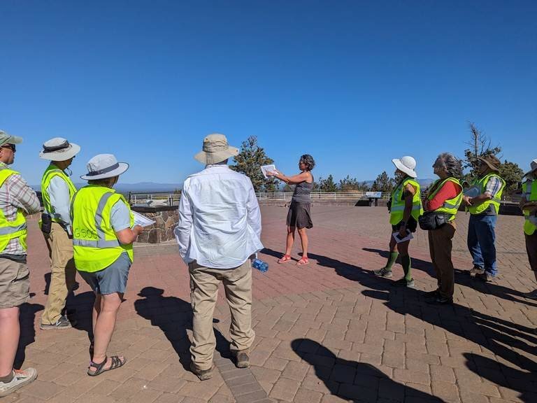
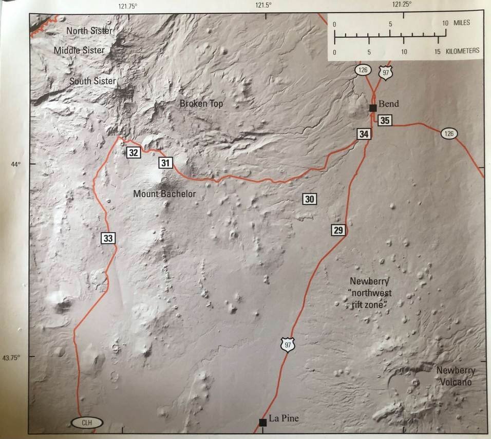
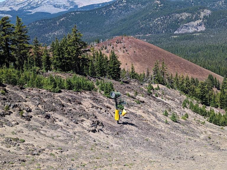
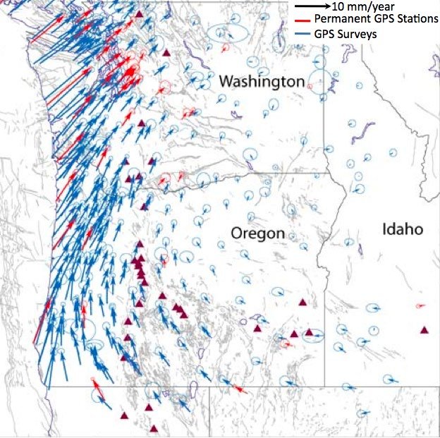
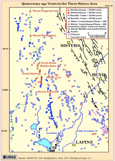
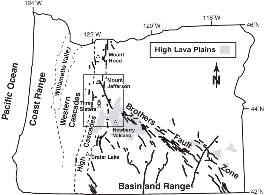
In addition to its tracking eastward across the Snake River Plain in Idaho presumably as the North America tectonic plate has passed over its position, the Yellowstone hot spot may also have been responsible for a series of bimodal eruptions (with two very different magma compositions) across the Brothers Fault Zone in Oregon. Oddly enough these eruptions track westward to today’s Newberry Volcano near Bend. Collins has found in his studies that these may be produced by a tail of the hot spot. Our GSOC talk scheduled for April may shed some light on this topic as it focuses upon this area.
In his talk to the GSOC group, Collins covered material in the first 7 chapters of his manuscript. He has also researched geology of the western states south of Oregon from the Pacific to the Teton Mountains and includes this information with illustrations in the work. We encourage him to find a publishing outlet for his work.
Additional Reading
CRB Plume article on Mantle Plumes website.
Seismic tomography page from Wikipedia.
Toba catastrophe theory from Wikipedia.
Supervolcano from Wikipedia.